Distance to Chilili, New Mexico

Calculating Your Route
Just a moment while we process your request...
Location Information
-
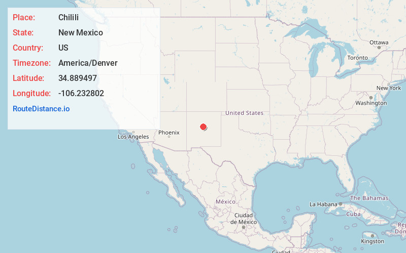
Full AddressChilili, NM 87059
-
Coordinates34.8894968, -106.2328016
-
LocationChilili , New Mexico , US
-
TimezoneAmerica/Denver
-
Current Local Time9:11:57 PM America/DenverThursday, June 5, 2025
-
Page Views0
About Chilili
Chilili is a census-designated place in Bernalillo County, New Mexico, United States. The population was 137 at the 2010 census. It is part of the Albuquerque Metropolitan Statistical Area.


Nearby Places
Found 10 places within 50 miles

Manzano Springs
5.0 mi
8.0 km
Manzano Springs, NM 87015
Get directions

Tajique
10.0 mi
16.1 km
Tajique, NM 87016
Get directions

McIntosh
10.3 mi
16.6 km
McIntosh, NM
Get directions

Edgewood
12.1 mi
19.5 km
Edgewood, NM
Get directions

Torreon
12.1 mi
19.5 km
Torreon, NM 87016
Get directions

Moriarty
12.5 mi
20.1 km
Moriarty, NM 87035
Get directions

Estancia
13.5 mi
21.7 km
Estancia, NM
Get directions

Sedillo
15.0 mi
24.1 km
Sedillo, NM 87059
Get directions

Tijeras
15.8 mi
25.4 km
Tijeras, NM 87059
Get directions

Cedar Crest
17.0 mi
27.4 km
Cedar Crest, NM
Get directions
Location Links
Local Weather
Weather Information
Coming soon!
Location Map
Static map view of Chilili, New Mexico
Browse Places by Distance
Places within specific distances from Chilili
Short Distances
Long Distances
Click any distance to see all places within that range from Chilili. Distances shown in miles (1 mile ≈ 1.61 kilometers).