Distance to Choctaw, Mississippi

Calculating Your Route
Just a moment while we process your request...
Location Information
-
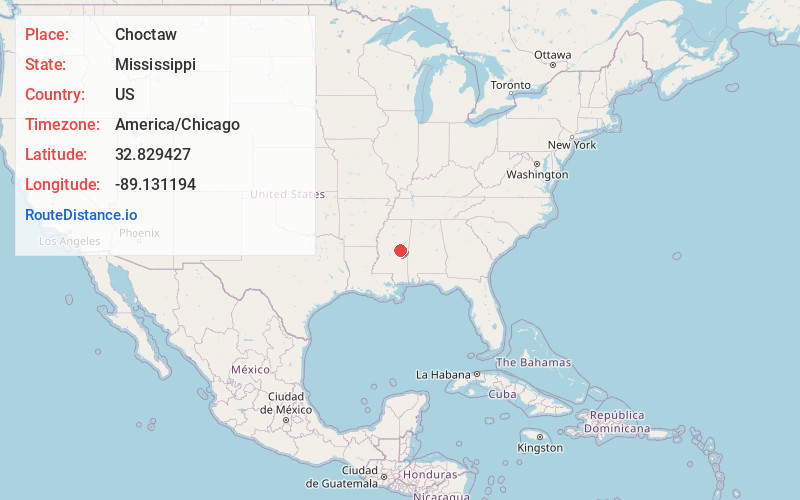
Full AddressChoctaw, MS 39350
-
Coordinates32.8294273, -89.1311937
-
LocationChoctaw , Mississippi , US
-
TimezoneAmerica/Chicago
-
Current Local Time6:33:01 AM America/ChicagoSaturday, May 31, 2025
-
Page Views0
About Choctaw
Choctaw is an unincorporated community and Indian reservation located in Neshoba County, Mississippi, United States. Choctaw is approximately 5.3 miles west of Philadelphia along Mississippi Highway 16.

Nearby Places
Found 10 places within 50 miles

Burnside
2.3 mi
3.7 km
Burnside, MS 39350
Get directions

Philadelphia
4.1 mi
6.6 km
Philadelphia, MS 39350
Get directions

Arlington
4.2 mi
6.8 km
Arlington, MS 39350
Get directions
Deemer
5.9 mi
9.5 km
Deemer, MS 39350
Get directions

Pearl River
6.4 mi
10.3 km
Pearl River, MS 39350
Get directions
Trapp
7.8 mi
12.6 km
Trapp, MS 39350
Get directions
Sandtown
7.9 mi
12.7 km
Sandtown, MS 39350
Get directions
Ocobla
8.0 mi
12.9 km
Ocobla, MS 39350
Get directions
Plattsburg
8.5 mi
13.7 km
Plattsburg, MS 39346
Get directions
Hope
8.7 mi
14.0 km
Hope, MS 39350
Get directions
Location Links
Local Weather
Weather Information
Coming soon!
Location Map
Static map view of Choctaw, Mississippi
Browse Places by Distance
Places within specific distances from Choctaw
Short Distances
Long Distances
Click any distance to see all places within that range from Choctaw. Distances shown in miles (1 mile ≈ 1.61 kilometers).