Distance to Chromo, Colorado

Calculating Your Route
Just a moment while we process your request...
Location Information
-
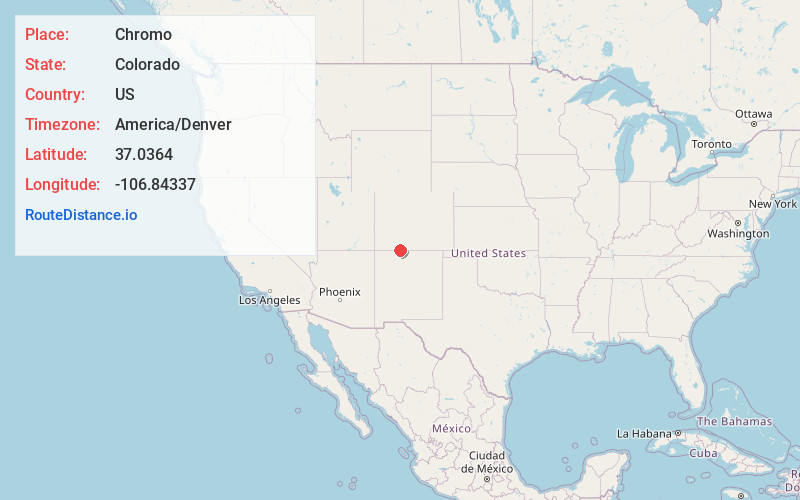
Full AddressChromo, CO 81147
-
Coordinates37.0363995, -106.8433697
-
LocationChromo , Colorado , US
-
TimezoneAmerica/Denver
-
Current Local Time5:50:28 PM America/DenverWednesday, June 18, 2025
-
Page Views0
About Chromo
Chromo is an unincorporated community and U.S. Post Office in Archuleta County, Colorado, United States. The Chromo Post Office has the ZIP Code 81128.
A post office called Chromo has been in operation since 1885. The community takes its name from nearby Chromo Mountain.

Nearby Places
Found 10 places within 50 miles

Amargo
7.3 mi
11.7 km
Amargo, NM 87520
Get directions

Lumberton
9.0 mi
14.5 km
Lumberton, NM 87528
Get directions
Monero
9.3 mi
15.0 km
Monero, NM 87520
Get directions
Juanita
17.0 mi
27.4 km
Juanita, CO 81147
Get directions

Pagosa Springs
18.5 mi
29.8 km
Pagosa Springs, CO 81147
Get directions
Kearns
18.7 mi
30.1 km
Kearns, CO 81147
Get directions

Gato
19.5 mi
31.4 km
Gato, CO 81147
Get directions
Nutria
20.5 mi
33.0 km
Nutria, CO 81147
Get directions
Cumbres
21.9 mi
35.2 km
Cumbres, CO 81120
Get directions
Stollsteimer Creek
25.3 mi
40.7 km
Stollsteimer Creek, Colorado 81147
Get directions
Location Links
Local Weather
Weather Information
Coming soon!
Location Map
Static map view of Chromo, Colorado
Browse Places by Distance
Places within specific distances from Chromo
Short Distances
Long Distances
Click any distance to see all places within that range from Chromo. Distances shown in miles (1 mile ≈ 1.61 kilometers).