Distance to Chuckanut, Washington

Calculating Your Route
Just a moment while we process your request...
Location Information
-
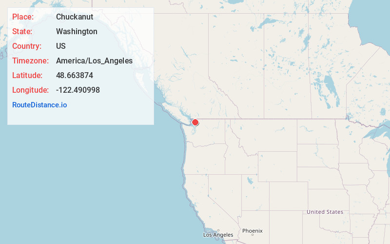
Full AddressChuckanut, WA 98229
-
Coordinates48.6638738, -122.4909981
-
LocationChuckanut , Washington , US
-
TimezoneAmerica/Los_Angeles
-
Current Local Time1:41:15 PM America/Los_AngelesThursday, July 3, 2025
-
Page Views0


Nearby Places
Found 10 places within 50 miles

Bellingham
6.1 mi
9.8 km
Bellingham, WA
Get directions

Geneva
7.0 mi
11.3 km
Geneva, WA 98229
Get directions

Alger
7.5 mi
12.1 km
Alger, WA
Get directions

Sudden Valley
7.7 mi
12.4 km
Sudden Valley, WA 98229
Get directions

Bow
8.3 mi
13.4 km
Bow, WA 98232
Get directions
Agate Bay
8.9 mi
14.3 km
Agate Bay, WA 98226
Get directions
Marietta-Alderwood
9.2 mi
14.8 km
Marietta-Alderwood, WA
Get directions
Leary
10.5 mi
16.9 km
Leary, WA 98273
Get directions
Allen
11.4 mi
18.3 km
Allen, WA 98232
Get directions

Anacortes
11.8 mi
19.0 km
Anacortes, WA
Get directions
Location Links
Local Weather
Weather Information
Coming soon!
Location Map
Static map view of Chuckanut, Washington
Browse Places by Distance
Places within specific distances from Chuckanut
Short Distances
Long Distances
Click any distance to see all places within that range from Chuckanut. Distances shown in miles (1 mile ≈ 1.61 kilometers).