Distance to Chunchula, Alabama

Calculating Your Route
Just a moment while we process your request...
Location Information
-
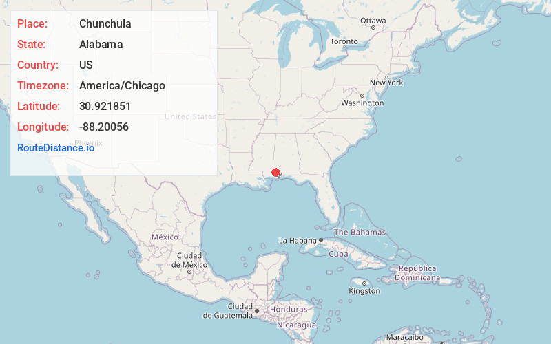
Full AddressChunchula, AL 36521
-
Coordinates30.9218505, -88.2005597
-
LocationChunchula , Alabama , US
-
TimezoneAmerica/Chicago
-
Current Local Time5:55:17 PM America/ChicagoFriday, June 20, 2025
-
Page Views0
About Chunchula
Chunchula is an unincorporated community and census-designated place in Mobile County, Alabama, United States. As of the 2020 census, its population was 195. It has a post office with the 36521 ZIP code. The community has one site listed on the Alabama Register of Landmarks and Heritage, the Chunchula School.

Nearby Places
Found 10 places within 50 miles

Creola
9.8 mi
15.8 km
Creola, AL
Get directions

Satsuma
9.8 mi
15.8 km
Satsuma, AL
Get directions

Axis
10.3 mi
16.6 km
Axis, AL 36505
Get directions

Saraland
10.4 mi
16.7 km
Saraland, AL
Get directions

Semmes
10.5 mi
16.9 km
Semmes, AL
Get directions

Citronelle
11.8 mi
19.0 km
Citronelle, AL 36522
Get directions

Chickasaw
13.2 mi
21.2 km
Chickasaw, AL
Get directions

Prichard
13.9 mi
22.4 km
Prichard, AL
Get directions

Mt Vernon
16.0 mi
25.7 km
Mt Vernon, AL 36560
Get directions

Mobile
18.3 mi
29.5 km
Mobile, AL
Get directions
Location Links
Local Weather
Weather Information
Coming soon!
Location Map
Static map view of Chunchula, Alabama
Browse Places by Distance
Places within specific distances from Chunchula
Short Distances
Long Distances
Click any distance to see all places within that range from Chunchula. Distances shown in miles (1 mile ≈ 1.61 kilometers).