Distance to Cimarron, Colorado

Calculating Your Route
Just a moment while we process your request...
Location Information
-
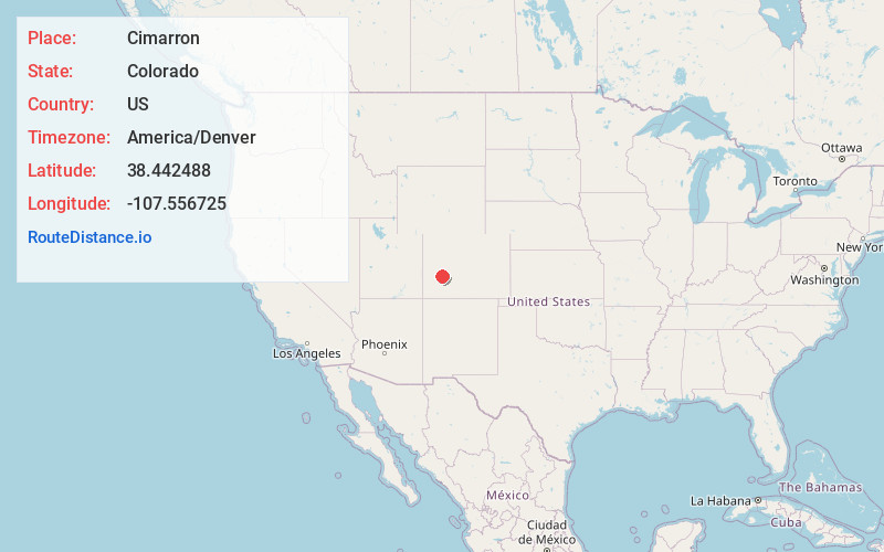
Full AddressCimarron, CO 81220
-
Coordinates38.4424881, -107.5567252
-
LocationCimarron , Colorado , US
-
TimezoneAmerica/Denver
-
Current Local Time9:40:39 PM America/DenverThursday, June 19, 2025
-
Page Views0
About Cimarron
Cimarron is an unincorporated rural hamlet in Montrose County, Colorado, United States. It is located on the northern side of U.S. Highway 50, 19 miles from the town of Montrose to its west, and 42 miles from Gunnison, Colorado to its east. There is a store with fuel pumps and a post office at Cimarron.


Nearby Places
Found 10 places within 50 miles

Cedar Creek
8.9 mi
14.3 km
Cedar Creek, CO 81401
Get directions
Lujane
10.1 mi
16.3 km
Lujane, CO 81401
Get directions

Colona
14.6 mi
23.5 km
Colona, CO 81403
Get directions

Montrose
17.5 mi
28.2 km
Montrose, CO
Get directions

Crawford
18.3 mi
29.5 km
Crawford, CO
Get directions

Loghill Village
20.9 mi
33.6 km
Loghill Village, CO 81432
Get directions
Roe
22.0 mi
35.4 km
Roe, CO 81403
Get directions

Ridgway
22.8 mi
36.7 km
Ridgway, CO 81432
Get directions
Frost
24.0 mi
38.6 km
Frost, CO 81425
Get directions

Olathe
25.6 mi
41.2 km
Olathe, CO 81425
Get directions
Location Links
Local Weather
Weather Information
Coming soon!
Location Map
Static map view of Cimarron, Colorado
Browse Places by Distance
Places within specific distances from Cimarron
Short Distances
Long Distances
Click any distance to see all places within that range from Cimarron. Distances shown in miles (1 mile ≈ 1.61 kilometers).