Distance to Cedar Creek, Colorado

Calculating Your Route
Just a moment while we process your request...
Location Information
-
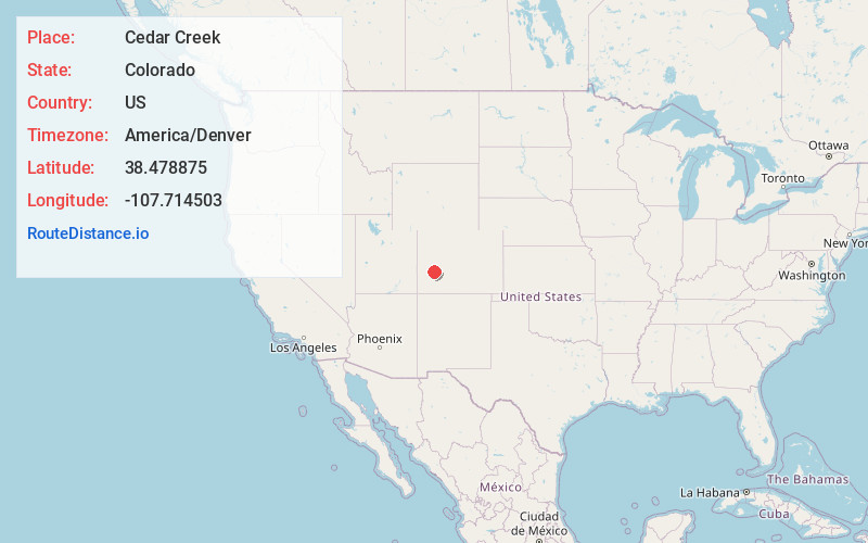
Full AddressCedar Creek, CO 81401
-
Coordinates38.4788754, -107.7145027
-
LocationColorado , US
-
TimezoneAmerica/Denver
-
Current Local Time3:32:34 PM America/DenverWednesday, June 18, 2025
-
Page Views0
Nearby Places
Found 10 places within 50 miles

Montrose
8.7 mi
14.0 km
Montrose, CO
Get directions

Colona
11.2 mi
18.0 km
Colona, CO 81403
Get directions

Crawford
16.6 mi
26.7 km
Crawford, CO
Get directions

Olathe
16.9 mi
27.2 km
Olathe, CO 81425
Get directions

Loghill Village
19.9 mi
32.0 km
Loghill Village, CO 81432
Get directions

Lazear
21.1 mi
34.0 km
Lazear, CO 81419
Get directions

Hotchkiss
22.2 mi
35.7 km
Hotchkiss, CO
Get directions

Ridgway
22.7 mi
36.5 km
Ridgway, CO 81432
Get directions

Delta
26.4 mi
42.5 km
Delta, CO 81416
Get directions

Paonia
27.7 mi
44.6 km
Paonia, CO 81428
Get directions
Location Links
Local Weather
Weather Information
Coming soon!
Location Map
Static map view of Cedar Creek, Colorado
Browse Places by Distance
Places within specific distances from Cedar Creek
Short Distances
Long Distances
Click any distance to see all places within that range from Cedar Creek. Distances shown in miles (1 mile ≈ 1.61 kilometers).