Distance to Lazear, Colorado

Calculating Your Route
Just a moment while we process your request...
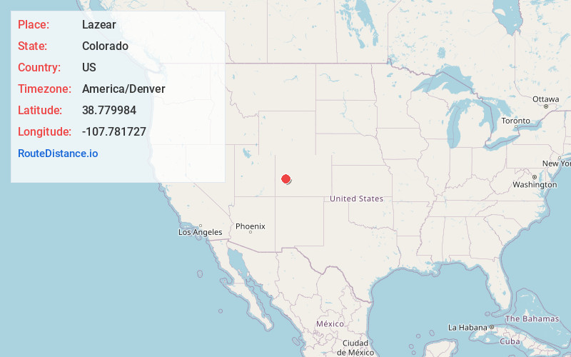
Location Information
-
Full AddressLazear, CO 81419
-
Coordinates38.7799842, -107.7817267
-
LocationLazear , Colorado , US
-
TimezoneAmerica/Denver
-
Current Local Time3:40:57 PM America/DenverTuesday, June 3, 2025
-
Page Views0
About Lazear
Lazear is an unincorporated town, a census-designated place, and a post office located in and governed by Delta County, Colorado, United States. The Lazear post office has the ZIP Code 81420. The population was 168 at the 2020 census.
Nearby Places
Found 10 places within 50 miles

Hotchkiss
3.6 mi
5.8 km
Hotchkiss, CO
Get directions

Orchard City
10.7 mi
17.2 km
Orchard City, CO
Get directions

Crawford
10.7 mi
17.2 km
Crawford, CO
Get directions

Cedaredge
11.5 mi
18.5 km
Cedaredge, CO 81413
Get directions

Paonia
11.9 mi
19.2 km
Paonia, CO 81428
Get directions

Delta
15.7 mi
25.3 km
Delta, CO 81416
Get directions

Olathe
16.2 mi
26.1 km
Olathe, CO 81425
Get directions

Montrose
21.5 mi
34.6 km
Montrose, CO
Get directions

Collbran
33.2 mi
53.4 km
Collbran, CO 81624
Get directions

Marble
37.7 mi
60.7 km
Marble, CO 81623
Get directions
Location Links
Local Weather
Weather Information
Coming soon!
Location Map
Static map view of Lazear, Colorado
Browse Places by Distance
Places within specific distances from Lazear
Short Distances
Long Distances
Click any distance to see all places within that range from Lazear. Distances shown in miles (1 mile ≈ 1.61 kilometers).