Distance to Hotchkiss, Colorado

Calculating Your Route
Just a moment while we process your request...
Location Information
-
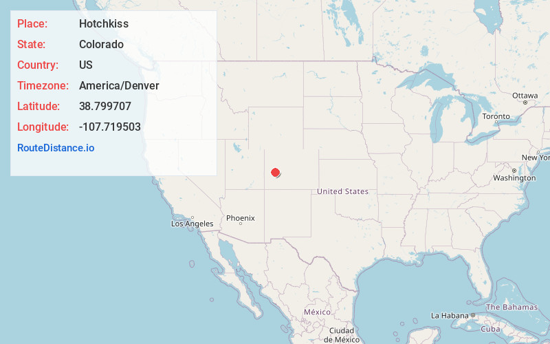
Full AddressHotchkiss, CO
-
Coordinates38.799707, -107.7195032
-
LocationHotchkiss , Colorado , US
-
TimezoneAmerica/Denver
-
Current Local Time8:47:16 PM America/DenverWednesday, May 28, 2025
-
Page Views0
About Hotchkiss
Hotchkiss is a statutory town in Delta County, Colorado, United States. The population was 875 at the 2020 census.
A post office called Hotchkiss has been in operation since 1882. The town is named after Enos T. Hotchkiss, a local pioneer.


Nearby Places
Found 10 places within 50 miles

Paonia
8.3 mi
13.4 km
Paonia, CO 81428
Get directions

Cedaredge
13.2 mi
21.2 km
Cedaredge, CO 81413
Get directions

Orchard City
13.5 mi
21.7 km
Orchard City, CO
Get directions

Delta
19.2 mi
30.9 km
Delta, CO 81416
Get directions

Olathe
19.5 mi
31.4 km
Olathe, CO 81425
Get directions

Montrose
23.8 mi
38.3 km
Montrose, CO
Get directions

Crested Butte
39.7 mi
63.9 km
Crested Butte, CO 81224
Get directions
Battlement Mesa
40.0 mi
64.4 km
Battlement Mesa, Colorado 81624
Get directions

Palisade
40.1 mi
64.5 km
Palisade, CO 81526
Get directions

Clifton
44.1 mi
71.0 km
Clifton, CO
Get directions
Location Links
Local Weather
Weather Information
Coming soon!
Location Map
Static map view of Hotchkiss, Colorado
Browse Places by Distance
Places within specific distances from Hotchkiss
Short Distances
Long Distances
Click any distance to see all places within that range from Hotchkiss. Distances shown in miles (1 mile ≈ 1.61 kilometers).