Distance to Cisco, Utah

Calculating Your Route
Just a moment while we process your request...
Location Information
-
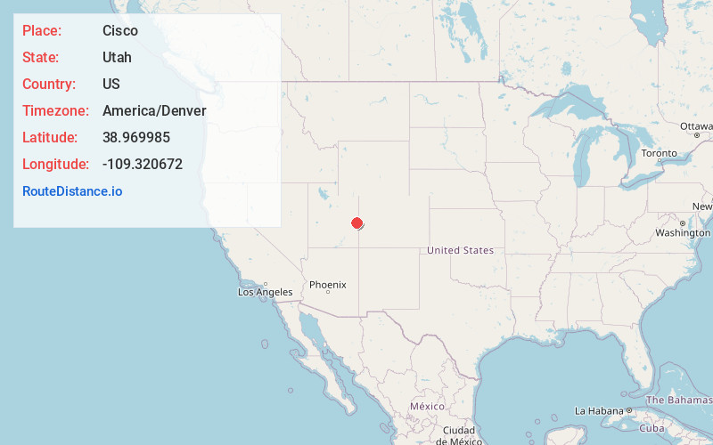
Full AddressCisco, UT 84540
-
Coordinates38.9699852, -109.3206722
-
LocationCisco , Utah , US
-
TimezoneAmerica/Denver
-
Current Local Time9:23:38 PM America/DenverThursday, June 19, 2025
-
Page Views0
About Cisco
Cisco is a ghost town in Grand County, Utah, United States near the junction of State Route 128 and Interstate 70.


Nearby Places
Found 10 places within 50 miles

Elba
10.1 mi
16.3 km
Elba, UT 84540
Get directions

Westwater
13.5 mi
21.7 km
Westwater, UT 84515
Get directions
Utaline
18.5 mi
29.8 km
Utaline, CO 81525
Get directions
Vista
19.2 mi
30.9 km
Vista, UT 84540
Get directions

Thompson Springs
21.1 mi
34.0 km
Thompson Springs, UT 84540
Get directions

Castle Valley
23.3 mi
37.5 km
Castle Valley, UT 84532
Get directions

Mack
30.1 mi
48.4 km
Mack, CO 81525
Get directions

Moab
30.1 mi
48.4 km
Moab, UT 84532
Get directions
Three Pines
31.3 mi
50.4 km
Three Pines, UT 84540
Get directions

Loma
31.4 mi
50.5 km
Loma, CO 81524
Get directions
Location Links
Local Weather
Weather Information
Coming soon!
Location Map
Static map view of Cisco, Utah
Browse Places by Distance
Places within specific distances from Cisco
Short Distances
Long Distances
Click any distance to see all places within that range from Cisco. Distances shown in miles (1 mile ≈ 1.61 kilometers).