Distance to Loma, Colorado

Calculating Your Route
Just a moment while we process your request...
Location Information
-
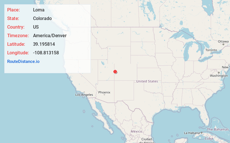
Full AddressLoma, CO 81524
-
Coordinates39.1958139, -108.813158
-
LocationLoma , Colorado , US
-
TimezoneAmerica/Denver
-
Current Local Time7:24:35 AM America/DenverTuesday, June 10, 2025
-
Page Views0
About Loma
Loma is an unincorporated town, post office, and census-designated place located in and governed by Mesa County, Colorado, United States. It is part of the Grand Junction, CO Metropolitan Statistical Area. The Loma post office has the ZIP Code 81524. At the 2020 census, the population of the Loma CDP was 1,314.

Nearby Places
Found 9 places within 50 miles

Fruita
5.2 mi
8.4 km
Fruita, CO
Get directions

Redlands
9.4 mi
15.1 km
Redlands, CO
Get directions

Grand Junction
16.0 mi
25.7 km
Grand Junction, CO
Get directions

Fruitvale
19.3 mi
31.1 km
Fruitvale, CO 81504
Get directions

Orchard Mesa
19.7 mi
31.7 km
Orchard Mesa, CO
Get directions

Clifton
20.8 mi
33.5 km
Clifton, CO
Get directions

Palisade
25.5 mi
41.0 km
Palisade, CO 81526
Get directions

Parachute
44.3 mi
71.3 km
Parachute, CO 81635
Get directions
Battlement Mesa
49.4 mi
79.5 km
Battlement Mesa, Colorado 81624
Get directions
Location Links
Local Weather
Weather Information
Coming soon!
Location Map
Static map view of Loma, Colorado
Browse Places by Distance
Places within specific distances from Loma
Short Distances
Long Distances
Click any distance to see all places within that range from Loma. Distances shown in miles (1 mile ≈ 1.61 kilometers).