Distance to Clarence, Illinois

Calculating Your Route
Just a moment while we process your request...
Location Information
-
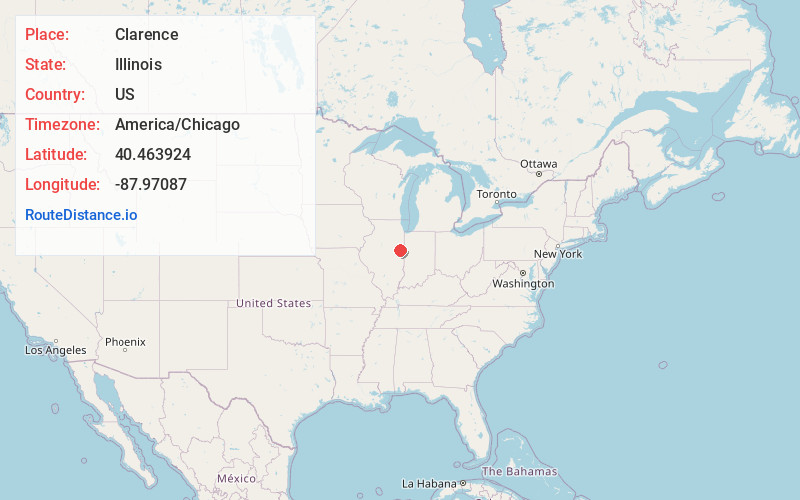
Full AddressClarence, IL 60960
-
Coordinates40.4639241, -87.9708696
-
LocationClarence , Illinois , US
-
TimezoneAmerica/Chicago
-
Current Local Time12:14:13 AM America/ChicagoWednesday, June 25, 2025
-
Page Views0
About Clarence
Clarence is an unincorporated community in Ford County, Illinois, United States. Clarence is within the limits of the remote Button Township and makes up most of its population. The community is located adjacent to Illinois Route 9, which provides service to nearby Paxton and Rankin.
Nearby Places
Found 10 places within 50 miles

Rankin
3.9 mi
6.3 km
Rankin, IL 60960
Get directions

Loda
6.5 mi
10.5 km
Loda, IL 60948
Get directions

Paxton
6.5 mi
10.5 km
Paxton, IL 60957
Get directions

Cissna Park
8.1 mi
13.0 km
Cissna Park, IL 60924
Get directions
East Lynn
8.9 mi
14.3 km
East Lynn, IL
Get directions
Ludlow
9.8 mi
15.8 km
Ludlow, IL 60949
Get directions

Buckley
9.8 mi
15.8 km
Buckley, IL 60918
Get directions
Claytonville
10.5 mi
16.9 km
Claytonville, IL 60924
Get directions

Penfield
11.2 mi
18.0 km
Penfield, IL 61862
Get directions
Gifford
11.2 mi
18.0 km
Gifford, IL 61847
Get directions
Location Links
Local Weather
Weather Information
Coming soon!
Location Map
Static map view of Clarence, Illinois
Browse Places by Distance
Places within specific distances from Clarence
Short Distances
Long Distances
Click any distance to see all places within that range from Clarence. Distances shown in miles (1 mile ≈ 1.61 kilometers).