Distance to Paxton, Illinois

Calculating Your Route
Just a moment while we process your request...
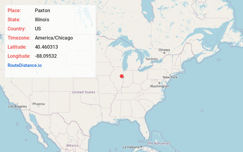
Location Information
-
Full AddressPaxton, IL 60957
-
Coordinates40.4603125, -88.0953201
-
LocationPaxton , Illinois , US
-
TimezoneAmerica/Chicago
-
Current Local Time12:13:04 AM America/ChicagoSunday, June 22, 2025
-
Website
-
Page Views0
About Paxton
Paxton is a city in and the county seat of Ford County, Illinois, United States. The population was 4,450 at the 2020 census.


Nearby Places
Found 10 places within 50 miles

Rantoul
11.0 mi
17.7 km
Rantoul, IL 61866
Get directions

Hoopeston
22.5 mi
36.2 km
Hoopeston, IL
Get directions

Mahomet
24.5 mi
39.4 km
Mahomet, IL
Get directions

Urbana
24.9 mi
40.1 km
Urbana, IL
Get directions

Champaign
25.0 mi
40.2 km
Champaign, IL
Get directions

Watseka
28.8 mi
46.3 km
Watseka, IL 60970
Get directions

Savoy
29.2 mi
47.0 km
Savoy, IL
Get directions

Danville
33.8 mi
54.4 km
Danville, IL
Get directions

Monticello
39.1 mi
62.9 km
Monticello, IL 61856
Get directions

Pontiac
40.4 mi
65.0 km
Pontiac, IL 61764
Get directions
Location Links
Local Weather
Weather Information
Coming soon!
Location Map
Static map view of Paxton, Illinois
Browse Places by Distance
Places within specific distances from Paxton
Short Distances
Long Distances
Click any distance to see all places within that range from Paxton. Distances shown in miles (1 mile ≈ 1.61 kilometers).