Distance to Clarendon, New York

Calculating Your Route
Just a moment while we process your request...
Location Information
-
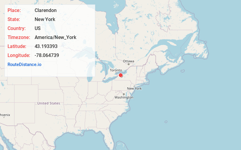
Full AddressClarendon, NY 14470
-
Coordinates43.193393, -78.0647387
-
LocationClarendon , New York , US
-
TimezoneAmerica/New_York
-
Current Local Time11:41:36 AM America/New_YorkSaturday, June 7, 2025
-
Page Views0
About Clarendon
Clarendon is a town in Orleans County, New York, United States. The population was 3,648 at the 2010 census. The name is derived from Clarendon, Vermont.
The Town of Clarendon is in the southeast part of the county. New York State Route 31A and New York State Route 237 intersect in the town.

Nearby Places
Found 10 places within 50 miles

Brockport
6.5 mi
10.5 km
Brockport, NY 14420
Get directions

Clarkson
7.4 mi
11.9 km
Clarkson, NY 14420
Get directions

Spencerport
13.1 mi
21.1 km
Spencerport, NY 14559
Get directions

Batavia
14.8 mi
23.8 km
Batavia, NY 14020
Get directions

Wheatland
17.6 mi
28.3 km
Wheatland, NY
Get directions

North Gates
18.3 mi
29.5 km
North Gates, NY 14606
Get directions

Caledonia
18.6 mi
29.9 km
Caledonia, NY 14423
Get directions

Pembroke
23.1 mi
37.2 km
Pembroke, NY 14036
Get directions

Rochester
23.1 mi
37.2 km
Rochester, NY
Get directions

Irondequoit
24.5 mi
39.4 km
Irondequoit, NY
Get directions
Location Links
Local Weather
Weather Information
Coming soon!
Location Map
Static map view of Clarendon, New York
Browse Places by Distance
Places within specific distances from Clarendon
Short Distances
Long Distances
Click any distance to see all places within that range from Clarendon. Distances shown in miles (1 mile ≈ 1.61 kilometers).