Distance to Clarington, Pennsylvania

Calculating Your Route
Just a moment while we process your request...
Location Information
-
Full AddressClarington, PA 15828
-
Coordinates41.3325629, -79.1230944
-
LocationClarington , Pennsylvania , US
-
TimezoneAmerica/New_York
-
Current Local Time4:41:14 AM America/New_YorkMonday, June 23, 2025
-
Page Views0
About Clarington
Clarington is an unincorporated community in the township of Barnett, in Forest County, Pennsylvania, United States. The community is located on the north bank of the Clarion River at the Pennsylvania Route 899 bridge, 12 miles north of Brookville.


Nearby Places
Found 10 places within 50 miles

Millstone Creek
3.1 mi
5.0 km
Millstone Creek, Millstone Township, PA 15860
Get directions

Sigel
4.0 mi
6.4 km
Sigel, PA 15860
Get directions
Redclyffe
4.6 mi
7.4 km
Redclyffe, Barnett Township, PA 16239
Get directions

Vowinckel
7.7 mi
12.4 km
Vowinckel, PA
Get directions
Howe
8.0 mi
12.9 km
Howe, PA 15825
Get directions
Roses
8.6 mi
13.8 km
Roses, Jenks Township, PA 16239
Get directions
Crown
8.6 mi
13.8 km
Crown, PA 16233
Get directions

Marienville
9.4 mi
15.1 km
Marienville, PA 16239
Get directions
Munderf
9.6 mi
15.4 km
Munderf, PA 15825
Get directions
Leeper
9.8 mi
15.8 km
Leeper, PA 16233
Get directions
Location Links
Local Weather
Weather Information
Coming soon!
Location Map
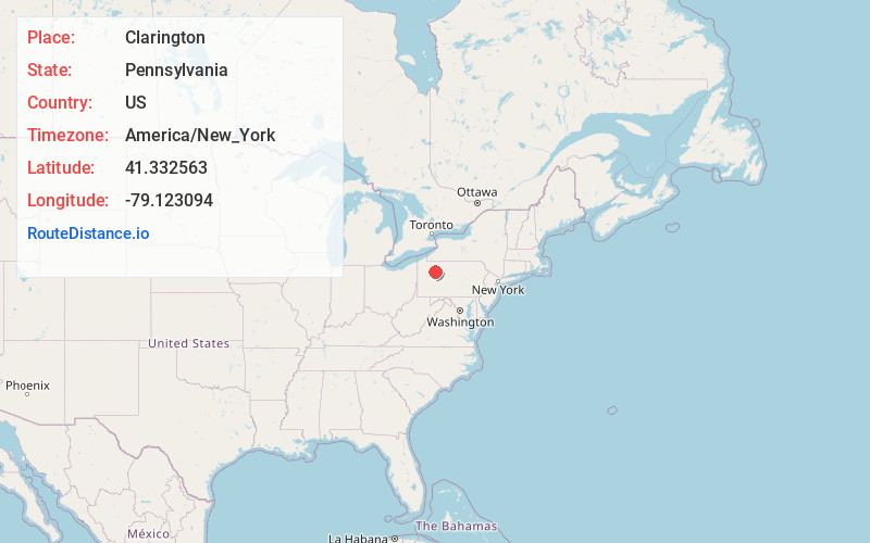
Static map view of Clarington, Pennsylvania
Browse Places by Distance
Places within specific distances from Clarington
Short Distances
Long Distances
Click any distance to see all places within that range from Clarington. Distances shown in miles (1 mile ≈ 1.61 kilometers).