Distance to Clark Colony, South Dakota

Calculating Your Route
Just a moment while we process your request...
Location Information
-
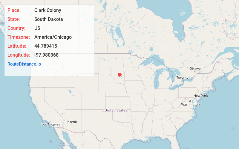
Full AddressClark Colony, SD 57436
-
Coordinates44.7894154, -97.9803683
-
LocationClark Colony , South Dakota , US
-
TimezoneAmerica/Chicago
-
Current Local Time4:56:35 AM America/ChicagoThursday, June 19, 2025
-
Page Views0
About Clark Colony
Clark Colony is a census-designated place and Hutterite colony in Spink County, South Dakota, United States. It was first listed as a CDP prior to the 2020 census. The population of the CDP was 92 at the 2020 census.
It is in the southeast part of the county, bordered to the east by the Clark County line.
Nearby Places
Found 10 places within 50 miles

Doland
9.4 mi
15.1 km
Doland, SD 57436
Get directions

Clark
13.6 mi
21.9 km
Clark, SD 57225
Get directions
Glendale Colony
15.1 mi
24.3 km
Glendale Colony, SD 57440
Get directions
Frankfort
17.0 mi
27.4 km
Frankfort, SD 57440
Get directions

Willow Lake
20.2 mi
32.5 km
Willow Lake, SD 57278
Get directions
Garden City
22.8 mi
36.7 km
Garden City, SD 57236
Get directions
Naples
23.0 mi
37.0 km
Naples, SD 57242
Get directions
Hitchcock
23.8 mi
38.3 km
Hitchcock, SD 57348
Get directions

Vienna
24.2 mi
38.9 km
Vienna, SD 57271
Get directions
Yale
24.6 mi
39.6 km
Yale, SD 57386
Get directions
Location Links
Local Weather
Weather Information
Coming soon!
Location Map
Static map view of Clark Colony, South Dakota
Browse Places by Distance
Places within specific distances from Clark Colony
Short Distances
Long Distances
Click any distance to see all places within that range from Clark Colony. Distances shown in miles (1 mile ≈ 1.61 kilometers).