Distance to Clark County, Illinois

Calculating Your Route
Just a moment while we process your request...
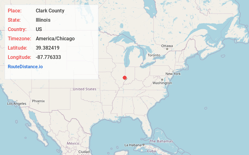
Location Information
-
Full AddressClark County, IL
-
Coordinates39.3824189, -87.7763333
-
LocationIllinois , US
-
TimezoneAmerica/Chicago
-
Current Local Time2:08:40 PM America/ChicagoSaturday, June 21, 2025
-
Page Views0
About Clark County
Clark County is a county located in the southeastern part of U.S. state of Illinois, along the Indiana state line. As of the 2020 census, the population was 15,455. Its county seat is Marshall. The county was named for George Rogers Clark, an officer who served in the American Revolution.
Nearby Places
Found 10 places within 50 miles

Clark Center
1.4 mi
2.3 km
Clark Center, IL 62441
Get directions

Marshall
4.5 mi
7.2 km
Marshall, IL 62441
Get directions

Allright
6.1 mi
9.8 km
Allright, IL 62441
Get directions
Castle Fin
6.5 mi
10.5 km
Castle Fin, Douglas Township, IL 62441
Get directions

Martinsville
6.5 mi
10.5 km
Martinsville, IL 62442
Get directions
McKeen
10.1 mi
16.3 km
McKeen, Wabash Township, IL 62441
Get directions
Neadmore
10.2 mi
16.4 km
Neadmore, IL 62442
Get directions
Oilfield
11.4 mi
18.3 km
Oilfield, Parker Township, IL 62420
Get directions
Walnut Prairie
11.5 mi
18.5 km
Walnut Prairie, York Township, IL 62477
Get directions
Marley
12.5 mi
20.1 km
Marley, Elbridge Township, IL 61944
Get directions
Location Links
Local Weather
Weather Information
Coming soon!
Location Map
Static map view of Clark County, Illinois
Browse Places by Distance
Places within specific distances from Clark County
Short Distances
Long Distances
Click any distance to see all places within that range from Clark County. Distances shown in miles (1 mile ≈ 1.61 kilometers).