Distance to McKeen, Illinois

Calculating Your Route
Just a moment while we process your request...
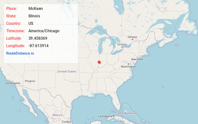
Location Information
-
Full AddressMcKeen, Wabash Township, IL 62441
-
Coordinates39.4583688, -87.613914
-
LocationWabash Township , Illinois , US
-
TimezoneAmerica/Chicago
-
Current Local Time8:13:15 AM America/ChicagoThursday, June 19, 2025
-
Page Views0
About McKeen
McKeen is an unincorporated community in Clark County, Illinois, United States. McKeen is located along a railroad line northeast of Marshall.
Nearby Places
Found 10 places within 50 miles

Marley
3.8 mi
6.1 km
Marley, Elbridge Township, IL 61944
Get directions

Marshall
6.3 mi
10.1 km
Marshall, IL 62441
Get directions
Larimer Hill
7.6 mi
12.2 km
Larimer Hill, IN 47885
Get directions
Toad Hop
8.0 mi
12.9 km
Toad Hop, IN 47885
Get directions
Vermilion
8.6 mi
13.8 km
Vermilion, IL
Get directions

St Mary-Of-The-Woods
8.6 mi
13.8 km
St Mary-Of-The-Woods, IN
Get directions
Prairieton Township
10.1 mi
16.3 km
Prairieton Township, IN 47802
Get directions

Terre Haute
10.7 mi
17.2 km
Terre Haute, IN
Get directions
Libertyville
11.2 mi
18.0 km
Libertyville, IN 47885
Get directions

Paris
11.4 mi
18.3 km
Paris, IL 61944
Get directions
Location Links
Local Weather
Weather Information
Coming soon!
Location Map
Static map view of McKeen, Illinois
Browse Places by Distance
Places within specific distances from McKeen
Short Distances
Long Distances
Click any distance to see all places within that range from McKeen. Distances shown in miles (1 mile ≈ 1.61 kilometers).