Distance to Prairieton Township, Indiana

Calculating Your Route
Just a moment while we process your request...
Location Information
-
Full AddressPrairieton Township, IN 47802
-
Coordinates39.3556774, -87.4802068
-
LocationPrairieton Township , Indiana , US
-
TimezoneAmerica/Indianapolis
-
Page Views0
About Prairieton Township
Prairieton Township is one of twelve townships in Vigo County, Indiana, United States. As of the 2010 census, its population was 1,222 and it contained 517 housing units.
Nearby Places
Found 10 places within 50 miles

Terre Haute
8.4 mi
13.5 km
Terre Haute, IN
Get directions

Farmersburg
8.8 mi
14.2 km
Farmersburg, IN 47850
Get directions

Riley
9.9 mi
15.9 km
Riley, IN
Get directions

St Mary-Of-The-Woods
10.7 mi
17.2 km
St Mary-Of-The-Woods, IN
Get directions

Marshall
11.7 mi
18.8 km
Marshall, IL 62441
Get directions
Shelburn
13.1 mi
21.1 km
Shelburn, IN 47879
Get directions

Lewis
13.6 mi
21.9 km
Lewis, IN 47858
Get directions

Tecumseh
14.7 mi
23.7 km
Tecumseh, IN 47885
Get directions

Seelyville
14.8 mi
23.8 km
Seelyville, IN 47803
Get directions
Hymera
15.1 mi
24.3 km
Hymera, IN
Get directions
Location Links
Local Weather
Weather Information
Coming soon!
Location Map
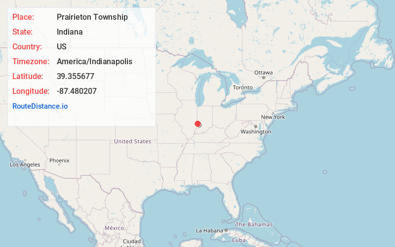
Static map view of Prairieton Township, Indiana
Browse Places by Distance
Places within specific distances from Prairieton Township
Short Distances
Long Distances
Click any distance to see all places within that range from Prairieton Township. Distances shown in miles (1 mile ≈ 1.61 kilometers).