Distance to Lewis, Indiana

Calculating Your Route
Just a moment while we process your request...
Location Information
-
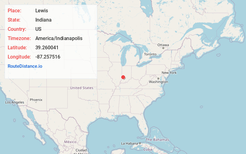
Full AddressLewis, IN 47858
-
Coordinates39.2600408, -87.2575157
-
LocationLewis , Indiana , US
-
TimezoneAmerica/Indianapolis
-
Page Views0
About Lewis
Lewis, also known as Lewisburg or Centerville, is an unincorporated community and census designated place in Vigo County, in the U.S. state of Indiana. Originally platted entirely within Vigo County, it has now expanded into adjacent Sullivan County.
It is part of the Terre Haute Metropolitan Statistical Area.

Nearby Places
Found 10 places within 50 miles

Hymera
5.6 mi
9.0 km
Hymera, IN
Get directions
Farmersburg
6.6 mi
10.6 km
Farmersburg, IN 47850
Get directions

Jasonville
7.4 mi
11.9 km
Jasonville, IN 47438
Get directions

Clay City
7.8 mi
12.6 km
Clay City, IN 47841
Get directions
Shelburn
9.2 mi
14.8 km
Shelburn, IN 47879
Get directions

Dugger
13.1 mi
21.1 km
Dugger, IN 47848
Get directions

Sullivan
13.9 mi
22.4 km
Sullivan, IN 47882
Get directions

Seelyville
16.0 mi
25.7 km
Seelyville, IN 47803
Get directions

Linton
16.3 mi
26.2 km
Linton, IN 47441
Get directions

Terre Haute
16.5 mi
26.6 km
Terre Haute, IN
Get directions
Location Links
Local Weather
Weather Information
Coming soon!
Location Map
Static map view of Lewis, Indiana
Browse Places by Distance
Places within specific distances from Lewis
Short Distances
Long Distances
Click any distance to see all places within that range from Lewis. Distances shown in miles (1 mile ≈ 1.61 kilometers).