Distance to Clark Mills, New York

Calculating Your Route
Just a moment while we process your request...
Location Information
-
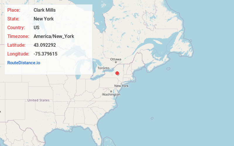
Full AddressClark Mills, NY
-
Coordinates43.0922918, -75.379615
-
LocationClark Mills , New York , US
-
TimezoneAmerica/New_York
-
Current Local Time7:12:19 PM America/New_YorkTuesday, June 17, 2025
-
Page Views0
About Clark Mills
Clark Mills is a hamlet in Oneida County, New York, United States. The population was 1,905 at the 2010 census.
The community is located at the northeastern corner of the Town of Kirkland, west of the City of Utica.
Nearby Places
Found 10 places within 50 miles

Westmoreland
2.1 mi
3.4 km
Westmoreland, NY
Get directions

Clinton
3.0 mi
4.8 km
Clinton, NY 13323
Get directions
Whitestown
4.1 mi
6.6 km
Whitestown, NY
Get directions

New York Mills
4.5 mi
7.2 km
New York Mills, NY
Get directions

New Hartford
4.8 mi
7.7 km
New Hartford, NY
Get directions

Whitesboro
4.9 mi
7.9 km
Whitesboro, NY 13492
Get directions
Marshall
9.3 mi
15.0 km
Marshall, NY 13480
Get directions
Augusta
10.2 mi
16.4 km
Augusta, NY 13425
Get directions
Sherrill
11.1 mi
17.9 km
Sherrill, NY
Get directions

Trenton
12.2 mi
19.6 km
Trenton, NY
Get directions
Location Links
Local Weather
Weather Information
Coming soon!
Location Map
Static map view of Clark Mills, New York
Browse Places by Distance
Places within specific distances from Clark Mills
Short Distances
Long Distances
Click any distance to see all places within that range from Clark Mills. Distances shown in miles (1 mile ≈ 1.61 kilometers).