Distance to Clarkia, Idaho

Calculating Your Route
Just a moment while we process your request...
Location Information
-
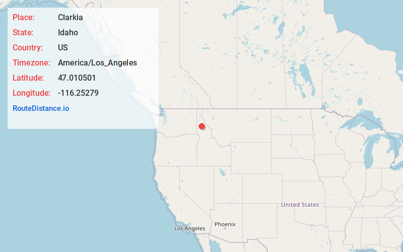
Full AddressClarkia, ID 83812
-
Coordinates47.010501, -116.2527899
-
LocationClarkia , Idaho , US
-
TimezoneAmerica/Los_Angeles
-
Current Local Time10:44:13 PM America/Los_AngelesMonday, June 16, 2025
-
Page Views0
About Clarkia
Clarkia is a small unincorporated community in the southwestern corner of Shoshone County, Idaho. It is surrounded by publicly and privately managed forest lands of Douglas-fir, Ponderosa Pine, and Western Larch.
Nearby Places
Found 10 places within 50 miles

Emerald Creek
5.5 mi
8.9 km
Emerald Creek, ID 83830
Get directions

Fernwood
9.6 mi
15.4 km
Fernwood, ID 83830
Get directions

Bovill
12.4 mi
20.0 km
Bovill, ID 83806
Get directions

Elk River
16.1 mi
25.9 km
Elk River, ID 83827
Get directions
Emida
17.8 mi
28.6 km
Emida, ID 83861
Get directions
Calder
18.7 mi
30.1 km
Calder, ID 83808
Get directions
Pocono
18.9 mi
30.4 km
Pocono, ID 83808
Get directions
Herrick
19.4 mi
31.2 km
Herrick, ID 83808
Get directions
Erlmo
19.7 mi
31.7 km
Erlmo, ID 83808
Get directions

Deary
20.4 mi
32.8 km
Deary, ID 83823
Get directions
Location Links
Local Weather
Weather Information
Coming soon!
Location Map
Static map view of Clarkia, Idaho
Browse Places by Distance
Places within specific distances from Clarkia
Short Distances
Long Distances
Click any distance to see all places within that range from Clarkia. Distances shown in miles (1 mile ≈ 1.61 kilometers).