Distance to Clarks Landing, Louisiana

Calculating Your Route
Just a moment while we process your request...
Location Information
-
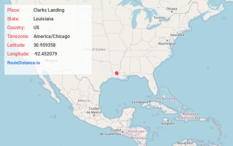
Full AddressClarks Landing, LA 70586
-
Coordinates30.9593583, -92.4520794
-
LocationLouisiana , US
-
TimezoneAmerica/Chicago
-
Current Local Time1:11:06 AM America/ChicagoThursday, June 19, 2025
-
Page Views0
Nearby Places
Found 10 places within 50 miles

Dove Landing
1.6 mi
2.6 km
Dove Landing, LA 71430
Get directions
Hester Landing
2.2 mi
3.5 km
Hester Landing, LA 71433
Get directions
Lake Cove
2.9 mi
4.7 km
Lake Cove, LA 70586
Get directions
Nobrac
3.4 mi
5.5 km
Nobrac, LA 71325
Get directions

Turkey Creek
6.1 mi
9.8 km
Turkey Creek, LA
Get directions

Forest Hill
7.4 mi
11.9 km
Forest Hill, LA 71430
Get directions
McNary
7.6 mi
12.2 km
McNary, LA 71433
Get directions

Lone Pine
7.9 mi
12.7 km
Lone Pine, LA 71367
Get directions

Glenmora
8.0 mi
12.9 km
Glenmora, LA 71433
Get directions
Bayou Boeuf
9.1 mi
14.6 km
Bayou Boeuf, Louisiana
Get directions
Location Links
Local Weather
Weather Information
Coming soon!
Location Map
Static map view of Clarks Landing, Louisiana
Browse Places by Distance
Places within specific distances from Clarks Landing
Short Distances
Long Distances
Click any distance to see all places within that range from Clarks Landing. Distances shown in miles (1 mile ≈ 1.61 kilometers).