Distance to Hester Landing, Louisiana

Calculating Your Route
Just a moment while we process your request...
Location Information
-
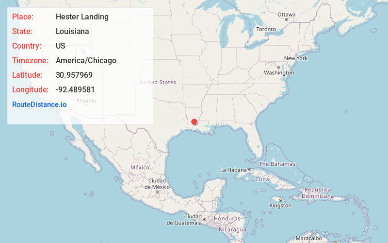
Full AddressHester Landing, LA 71433
-
Coordinates30.9579694, -92.4895807
-
LocationLouisiana , US
-
TimezoneAmerica/Chicago
-
Current Local Time2:20:03 PM America/ChicagoFriday, June 20, 2025
-
Page Views0
Nearby Places
Found 10 places within 50 miles

McNary
5.5 mi
8.9 km
McNary, LA 71433
Get directions

Glenmora
5.8 mi
9.3 km
Glenmora, LA 71433
Get directions

Forest Hill
6.3 mi
10.1 km
Forest Hill, LA 71430
Get directions

Turkey Creek
7.2 mi
11.6 km
Turkey Creek, LA
Get directions

Lecompte
10.8 mi
17.4 km
Lecompte, LA
Get directions

Cheneyville
12.6 mi
20.3 km
Cheneyville, LA
Get directions

Pine Prairie
12.6 mi
20.3 km
Pine Prairie, LA
Get directions
Woodworth
13.1 mi
21.1 km
Woodworth, LA
Get directions

Oakdale
14.0 mi
22.5 km
Oakdale, LA 71463
Get directions
Elmer
16.5 mi
26.6 km
Elmer, LA 71424
Get directions
Location Links
Local Weather
Weather Information
Coming soon!
Location Map
Static map view of Hester Landing, Louisiana
Browse Places by Distance
Places within specific distances from Hester Landing
Short Distances
Long Distances
Click any distance to see all places within that range from Hester Landing. Distances shown in miles (1 mile ≈ 1.61 kilometers).