Distance to Clarkstown, New York

Calculating Your Route
Just a moment while we process your request...
Location Information
-
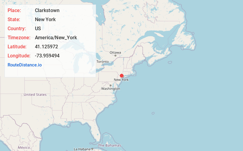
Full AddressClarkstown, NY
-
Coordinates41.1259715, -73.959494
-
LocationClarkstown , New York , US
-
TimezoneAmerica/New_York
-
Current Local Time2:47:33 AM America/New_YorkSaturday, May 31, 2025
-
Page Views0
About Clarkstown
Clarkstown is a town in Rockland County, New York, United States. The town is on the eastern border of the county, located north of the town of Orangetown, east of the town of Ramapo, south of the town of Haverstraw, and west of the Hudson River. As of the 2020 census, the town had a total population of 86,855.


Nearby Places
Found 10 places within 50 miles

Greenburgh
8.0 mi
12.9 km
Greenburgh, NY
Get directions

Yonkers
13.8 mi
22.2 km
Yonkers, NY
Get directions

New Rochelle
16.9 mi
27.2 km
New Rochelle, NY
Get directions

Paterson
18.1 mi
29.1 km
Paterson, NJ
Get directions

Bronx
20.0 mi
32.2 km
Bronx, NY
Get directions

Clifton
20.8 mi
33.5 km
Clifton, NJ
Get directions

Stamford
22.5 mi
36.2 km
Stamford, CT
Get directions

Jersey City
28.4 mi
45.7 km
Jersey City, NJ
Get directions

Oyster Bay
28.6 mi
46.0 km
Oyster Bay, NY
Get directions

New York
28.7 mi
46.2 km
New York, NY
Get directions
Location Links
Local Weather
Weather Information
Coming soon!
Location Map
Static map view of Clarkstown, New York
Browse Places by Distance
Places within specific distances from Clarkstown
Short Distances
Long Distances
Click any distance to see all places within that range from Clarkstown. Distances shown in miles (1 mile ≈ 1.61 kilometers).