Distance to and from Clarkton, Virginia
Clarkton, VA 24577
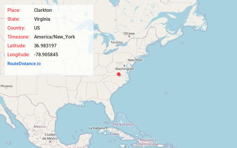
Virginia
US
America/New_York
Location Information
-
Full AddressClarkton, VA 24577
-
Coordinates36.9831965, -78.9058446
-
LocationVirginia , US
-
TimezoneAmerica/New_York
-
Current Local Time2:30:04 AM America/New_YorkSunday, May 4, 2025
-
Page Views0
Directions to Nearest Cities
Nearby Places
Found 10 places within 50 miles

Nathalie
4.0 mi
6.4 km
Nathalie, VA 24577
Get directions

North Halifax
4.1 mi
6.6 km
North Halifax, VA 24577
Get directions

Brookneal
5.1 mi
8.2 km
Brookneal, VA 24528
Get directions
Whitesville
5.5 mi
8.9 km
Whitesville, VA 24577
Get directions
Lennig
5.7 mi
9.2 km
Lennig, VA 24577
Get directions
Republican Grove
8.1 mi
13.0 km
Republican Grove, VA 24577
Get directions
Hat Creek
9.4 mi
15.1 km
Hat Creek, VA 24528
Get directions
Cody
10.6 mi
17.1 km
Cody, VA 24557
Get directions
Phenix
11.0 mi
17.7 km
Phenix, VA
Get directions
Clays Mill
11.0 mi
17.7 km
Clays Mill, VA 24558
Get directions
Nathalie
4.0 mi
6.4 km
Nathalie, VA 24577
North Halifax
4.1 mi
6.6 km
North Halifax, VA 24577
Brookneal
5.1 mi
8.2 km
Brookneal, VA 24528
Whitesville
5.5 mi
8.9 km
Whitesville, VA 24577
Lennig
5.7 mi
9.2 km
Lennig, VA 24577
Republican Grove
8.1 mi
13.0 km
Republican Grove, VA 24577
Hat Creek
9.4 mi
15.1 km
Hat Creek, VA 24528
Cody
10.6 mi
17.1 km
Cody, VA 24557
Phenix
11.0 mi
17.7 km
Phenix, VA
Clays Mill
11.0 mi
17.7 km
Clays Mill, VA 24558
Location Links
Local Weather
Weather Information
Coming soon!
Location Map
Static map view of Clarkton, Virginia
Browse Places by Distance
Places within specific distances from Clarkton
Short Distances
Long Distances
Click any distance to see all places within that range from Clarkton. Distances shown in miles (1 mile ≈ 1.61 kilometers).