Distance to Claxton, Georgia

Calculating Your Route
Just a moment while we process your request...
Location Information
-
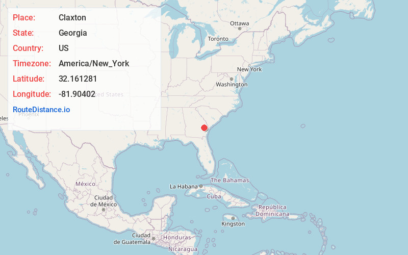
Full AddressClaxton, GA 30417
-
Coordinates32.1612812, -81.9040199
-
LocationClaxton , Georgia , US
-
TimezoneAmerica/New_York
-
Current Local Time5:19:38 PM America/New_YorkWednesday, June 18, 2025
-
Page Views0
About Claxton
Claxton is a city in Evans County, Georgia, United States. The population was 2,602 in 2020. It is the county seat of Evans County.


Nearby Places
Found 10 places within 50 miles

Glennville
15.6 mi
25.1 km
Glennville, GA 30427
Get directions

Metter
18.7 mi
30.1 km
Metter, GA 30439
Get directions

Statesboro
21.1 mi
34.0 km
Statesboro, GA
Get directions

Lyons
24.6 mi
39.6 km
Lyons, GA 30436
Get directions

Fort Stewart
26.6 mi
42.8 km
Fort Stewart, GA
Get directions

Hinesville
28.4 mi
45.7 km
Hinesville, GA 31313
Get directions

Vidalia
30.0 mi
48.3 km
Vidalia, GA
Get directions

Walthourville
31.1 mi
50.1 km
Walthourville, GA
Get directions

Bloomingdale
35.5 mi
57.1 km
Bloomingdale, GA
Get directions

Baxley
37.1 mi
59.7 km
Baxley, GA 31513
Get directions
Location Links
Local Weather
Weather Information
Coming soon!
Location Map
Static map view of Claxton, Georgia
Browse Places by Distance
Places within specific distances from Claxton
Short Distances
Long Distances
Click any distance to see all places within that range from Claxton. Distances shown in miles (1 mile ≈ 1.61 kilometers).