Distance to Clay County, Mississippi

Calculating Your Route
Just a moment while we process your request...
Location Information
-
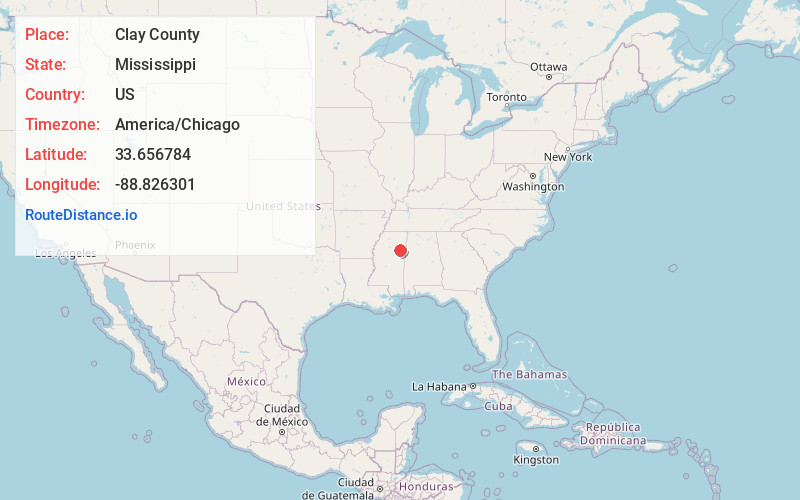
Full AddressClay County, MS
-
Coordinates33.6567838, -88.8263006
-
LocationMississippi , US
-
TimezoneAmerica/Chicago
-
Current Local Time7:15:51 AM America/ChicagoThursday, June 5, 2025
-
Page Views0
About Clay County
Clay County is a county in the U.S. state of Mississippi. As of the 2020 United States census, the population was 18,636. Its county seat is West Point. Its name is in honor of American statesman Henry Clay, member of the United States Senate from Kentucky and United States Secretary of State in the 19th century.

Nearby Places
Found 10 places within 50 miles

Griffith
1.5 mi
2.4 km
Griffith, MS 39741
Get directions
Abbott
3.4 mi
5.5 km
Abbott, MS 39773
Get directions
Siloam
4.2 mi
6.8 km
Siloam, MS 39773
Get directions
Cedarbluff
4.8 mi
7.7 km
Cedarbluff, MS 39741
Get directions
Waddell
5.9 mi
9.5 km
Waddell, MS 39741
Get directions

Pheba
8.7 mi
14.0 km
Pheba, MS 39755
Get directions
Rocky Hill
9.2 mi
14.8 km
Rocky Hill, MS 39759
Get directions
Muldrow
10.3 mi
16.6 km
Muldrow, MS 39759
Get directions

West Point
10.7 mi
17.2 km
West Point, MS 39773
Get directions
Osborn
11.1 mi
17.9 km
Osborn, MS 39759
Get directions
Location Links
Local Weather
Weather Information
Coming soon!
Location Map
Static map view of Clay County, Mississippi
Browse Places by Distance
Places within specific distances from Clay County
Short Distances
Long Distances
Click any distance to see all places within that range from Clay County. Distances shown in miles (1 mile ≈ 1.61 kilometers).