Distance to Pheba, Mississippi

Calculating Your Route
Just a moment while we process your request...
Location Information
-
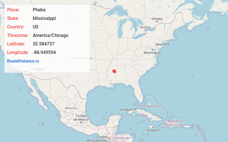
Full AddressPheba, MS 39755
-
Coordinates33.5847365, -88.9495943
-
LocationPheba , Mississippi , US
-
TimezoneAmerica/Chicago
-
Current Local Time12:18:53 PM America/ChicagoWednesday, June 18, 2025
-
Page Views0
About Pheba
Pheba is a census-designated place and unincorporated community located in Clay County, Mississippi, United States. Pheba is located at the intersection of Mississippi Highway 50 and Mississippi Highway 389 and is approximately 7 miles west of Cedarbluff.

Nearby Places
Found 10 places within 50 miles

Maben
8.0 mi
12.9 km
Maben, MS 39750
Get directions

Mathiston
10.5 mi
16.9 km
Mathiston, MS 39752
Get directions
Mantee
11.8 mi
19.0 km
Mantee, MS
Get directions

Starkville
12.0 mi
19.3 km
Starkville, MS 39759
Get directions
Longview
12.6 mi
20.3 km
Longview, MS 39759
Get directions
Woodland
14.6 mi
23.5 km
Woodland, MS 39776
Get directions

West Point
17.3 mi
27.8 km
West Point, MS 39773
Get directions
Sturgis
17.5 mi
28.2 km
Sturgis, MS 39769
Get directions
Eupora
18.5 mi
29.8 km
Eupora, MS 39744
Get directions

Walthall
18.9 mi
30.4 km
Walthall, MS
Get directions
Location Links
Local Weather
Weather Information
Coming soon!
Location Map
Static map view of Pheba, Mississippi
Browse Places by Distance
Places within specific distances from Pheba
Short Distances
Long Distances
Click any distance to see all places within that range from Pheba. Distances shown in miles (1 mile ≈ 1.61 kilometers).