Distance to Clay Hill, Pennsylvania

Calculating Your Route
Just a moment while we process your request...
Location Information
-
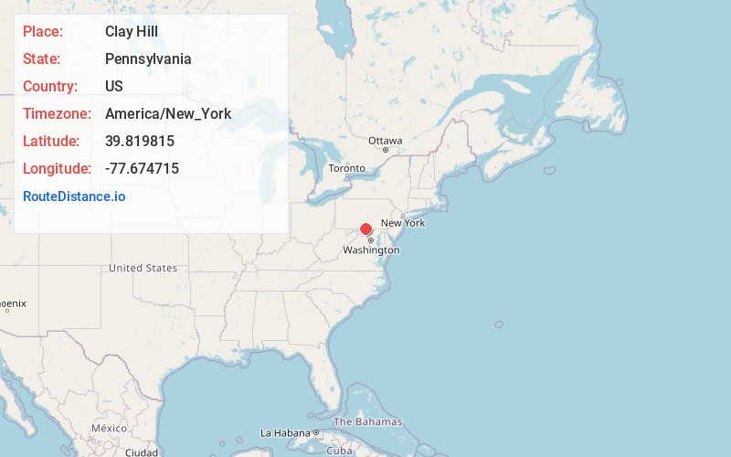
Full AddressClay Hill, PA 17202
-
Coordinates39.819815, -77.6747146
-
LocationClay Hill , Pennsylvania , US
-
TimezoneAmerica/New_York
-
Current Local Time1:53:25 PM America/New_YorkTuesday, June 24, 2025
-
Page Views0
Nearby Places
Found 10 places within 50 miles

Marion
2.8 mi
4.5 km
Marion, PA 17202
Get directions

Greencastle
3.5 mi
5.6 km
Greencastle, PA 17225
Get directions
Altenwald
4.2 mi
6.8 km
Altenwald, PA 17268
Get directions

Quincy
5.4 mi
8.7 km
Quincy, PA 17268
Get directions
Milnor
5.8 mi
9.3 km
Milnor, PA 17225
Get directions

Mont Alto
6.4 mi
10.3 km
Mont Alto, PA
Get directions

State Line
6.7 mi
10.8 km
State Line, PA
Get directions

Waynesboro
6.8 mi
10.9 km
Waynesboro, PA 17268
Get directions

Falling Spring Branch
7.4 mi
11.9 km
Falling Spring Branch, Pennsylvania
Get directions
Guilford
7.7 mi
12.4 km
Guilford, PA 17202
Get directions
Location Links
Local Weather
Weather Information
Coming soon!
Location Map
Static map view of Clay Hill, Pennsylvania
Browse Places by Distance
Places within specific distances from Clay Hill
Short Distances
Long Distances
Click any distance to see all places within that range from Clay Hill. Distances shown in miles (1 mile ≈ 1.61 kilometers).