Distance to Clay, Kentucky

Calculating Your Route
Just a moment while we process your request...
Location Information
-
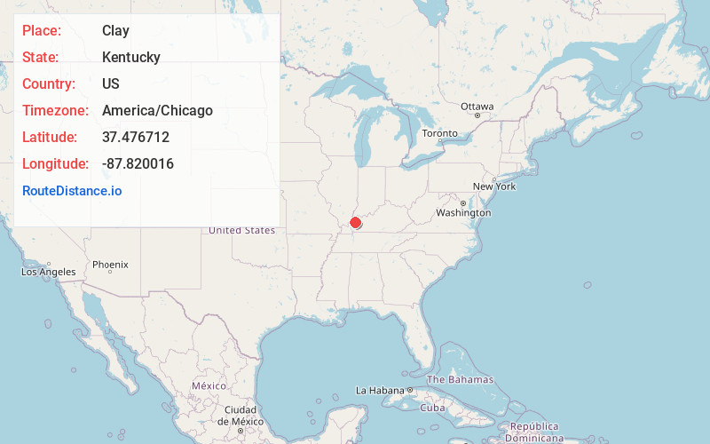
Full AddressClay, KY 42404
-
Coordinates37.4767119, -87.8200159
-
LocationClay , Kentucky , US
-
TimezoneAmerica/Chicago
-
Current Local Time8:08:50 AM America/ChicagoMonday, June 23, 2025
-
Page Views0
About Clay
Clay is a home rule-class city in Webster County, Kentucky, in the United States. The population was 1,031 at the 2020 census. Settled in 1837, the city is named for the statesman Henry Clay. In 2022, it became a wet city after a petition put the measure on the ballot.


Nearby Places
Found 10 places within 50 miles

Providence
6.3 mi
10.1 km
Providence, KY 42450
Get directions

Dixon
7.7 mi
12.4 km
Dixon, KY 42409
Get directions

Sturgis
10.2 mi
16.4 km
Sturgis, KY 42459
Get directions

Morganfield
15.2 mi
24.5 km
Morganfield, KY 42437
Get directions

Marion
17.4 mi
28.0 km
Marion, KY 42064
Get directions

Sebree
18.3 mi
29.5 km
Sebree, KY 42455
Get directions

Madisonville
20.4 mi
32.8 km
Madisonville, KY 42431
Get directions

Earlington
22.0 mi
35.4 km
Earlington, KY
Get directions

Dawson Springs
22.5 mi
36.2 km
Dawson Springs, KY 42408
Get directions

Princeton
25.6 mi
41.2 km
Princeton, KY 42445
Get directions
Location Links
Local Weather
Weather Information
Coming soon!
Location Map
Static map view of Clay, Kentucky
Browse Places by Distance
Places within specific distances from Clay
Short Distances
Long Distances
Click any distance to see all places within that range from Clay. Distances shown in miles (1 mile ≈ 1.61 kilometers).