Distance to Sturgis, Kentucky

Calculating Your Route
Just a moment while we process your request...
Location Information
-
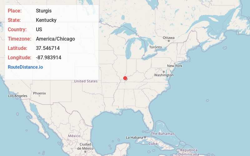
Full AddressSturgis, KY 42459
-
Coordinates37.5467135, -87.983914
-
LocationSturgis , Kentucky , US
-
TimezoneAmerica/Chicago
-
Current Local Time2:47:00 PM America/ChicagoTuesday, June 24, 2025
-
Page Views0
About Sturgis
Sturgis is a home rule-class city in Union County, Kentucky, United States. The population was 1,898 at the 2010 census. Located in northwest Kentucky, the city was founded in 1890 and named for Samuel Sturgis, who owned the land now occupied by the city.

Nearby Places
Found 10 places within 50 miles

Morganfield
10.1 mi
16.3 km
Morganfield, KY 42437
Get directions

Marion
15.7 mi
25.3 km
Marion, KY 42064
Get directions

Providence
15.9 mi
25.6 km
Providence, KY 42450
Get directions

Sebree
25.3 mi
40.7 km
Sebree, KY 42455
Get directions

Mt Vernon
27.1 mi
43.6 km
Mt Vernon, IN 47620
Get directions

Henderson
29.6 mi
47.6 km
Henderson, KY 42420
Get directions

Madisonville
30.6 mi
49.2 km
Madisonville, KY 42431
Get directions

Dawson Springs
30.7 mi
49.4 km
Dawson Springs, KY 42408
Get directions

Princeton
30.7 mi
49.4 km
Princeton, KY 42445
Get directions

Eldorado
30.9 mi
49.7 km
Eldorado, IL 62930
Get directions
Location Links
Local Weather
Weather Information
Coming soon!
Location Map
Static map view of Sturgis, Kentucky
Browse Places by Distance
Places within specific distances from Sturgis
Short Distances
Long Distances
Click any distance to see all places within that range from Sturgis. Distances shown in miles (1 mile ≈ 1.61 kilometers).