Distance to Clayhatchee, Alabama

Calculating Your Route
Just a moment while we process your request...
Location Information
-
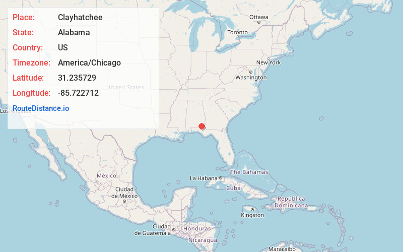
Full AddressClayhatchee, AL 36322
-
Coordinates31.2357293, -85.7227118
-
LocationClayhatchee , Alabama , US
-
TimezoneAmerica/Chicago
-
Current Local Time8:46:16 PM America/ChicagoThursday, June 19, 2025
-
Page Views0
About Clayhatchee
Clayhatchee is a town in Dale County, Alabama, United States. At the 2010 census the population was 589, up from 501 in 2000. It was incorporated in April 1967. It is part of the Ozark Micropolitan Statistical Area.
Nearby Places
Found 10 places within 50 miles

Daleville
5.2 mi
8.4 km
Daleville, AL
Get directions

Level Plains
5.5 mi
8.9 km
Level Plains, AL
Get directions

Fort Novosel
7.2 mi
11.6 km
Fort Novosel, AL
Get directions

Hartford
9.3 mi
15.0 km
Hartford, AL 36344
Get directions

Enterprise
9.6 mi
15.4 km
Enterprise, AL 36330
Get directions

Newton
9.8 mi
15.8 km
Newton, AL
Get directions
Pinckard
11.6 mi
18.7 km
Pinckard, AL
Get directions

Slocomb
11.6 mi
18.7 km
Slocomb, AL 36375
Get directions
Malvern
13.8 mi
22.2 km
Malvern, AL
Get directions

Midland City
14.7 mi
23.7 km
Midland City, AL 36350
Get directions
Location Links
Local Weather
Weather Information
Coming soon!
Location Map
Static map view of Clayhatchee, Alabama
Browse Places by Distance
Places within specific distances from Clayhatchee
Short Distances
Long Distances
Click any distance to see all places within that range from Clayhatchee. Distances shown in miles (1 mile ≈ 1.61 kilometers).