Distance to Level Plains, Alabama

Calculating Your Route
Just a moment while we process your request...
Location Information
-
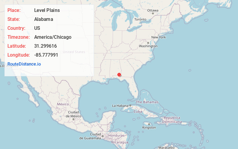
Full AddressLevel Plains, AL
-
Coordinates31.2996162, -85.7779914
-
LocationLevel Plains , Alabama , US
-
TimezoneAmerica/Chicago
-
Current Local Time9:33:18 PM America/ChicagoTuesday, May 27, 2025
-
Page Views0
About Level Plains
Level Plains is a small town in Dale County, Alabama, United States. At the 2020 census, the population was 1,825. It is part of the Ozark micropolitan statistical area. Level Plains was ranked as a city from 2010 to 2020, but due to a population decline reverted to a town after the 2020 Census.
Nearby Places
Found 10 places within 50 miles

Daleville
3.9 mi
6.3 km
Daleville, AL
Get directions

Fort Novosel
4.6 mi
7.4 km
Fort Novosel, AL
Get directions

Enterprise
4.7 mi
7.6 km
Enterprise, AL 36330
Get directions

Ozark
13.7 mi
22.0 km
Ozark, AL 36360
Get directions

Hartford
14.4 mi
23.2 km
Hartford, AL 36344
Get directions

Elba
18.9 mi
30.4 km
Elba, AL 36323
Get directions

Malvern
18.9 mi
30.4 km
Malvern, AL
Get directions

Geneva
19.1 mi
30.7 km
Geneva, AL 36340
Get directions

Taylor
20.5 mi
33.0 km
Taylor, AL
Get directions
Rehobeth
22.8 mi
36.7 km
Rehobeth, AL 36301
Get directions
Location Links
Local Weather
Weather Information
Coming soon!
Location Map
Static map view of Level Plains, Alabama
Browse Places by Distance
Places within specific distances from Level Plains
Short Distances
Long Distances
Click any distance to see all places within that range from Level Plains. Distances shown in miles (1 mile ≈ 1.61 kilometers).