Distance to Clays Landing, Michigan

Calculating Your Route
Just a moment while we process your request...
Location Information
-
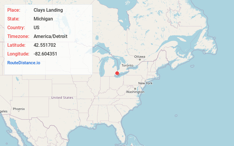
Full AddressClays Landing, Clay Township, MI 48028
-
Coordinates42.5517016, -82.6043512
-
LocationClay Township , Michigan , US
-
TimezoneAmerica/Detroit
-
Current Local Time1:57:52 AM America/DetroitWednesday, June 18, 2025
-
Page Views0
Nearby Places
Found 10 places within 50 miles

Bedore
0.6 mi
1.0 km
Bedore, Clay Township, MI 48028
Get directions
Muirs
0.9 mi
1.4 km
Muirs, Clay Township, MI 48028
Get directions
Forster
1.0 mi
1.6 km
Forster, Clay Township, MI 48028
Get directions
Miller
2.8 mi
4.5 km
Miller, Clay Township, MI 48028
Get directions
Sans Souci
2.8 mi
4.5 km
Sans Souci, Clay Township, MI 48028
Get directions
Grande Pointe
4.5 mi
7.2 km
Grande Pointe, Clay Township, MI 48028
Get directions
Pointe Aux Tremble
5.1 mi
8.2 km
Pointe Aux Tremble, Pearl Beach, MI 48001
Get directions

Pearl Beach
5.2 mi
8.4 km
Pearl Beach, MI 48001
Get directions

Algonac
5.9 mi
9.5 km
Algonac, MI 48001
Get directions
Perch Point
7.9 mi
12.7 km
Perch Point, Clay Township, MI 48001
Get directions
Location Links
Local Weather
Weather Information
Coming soon!
Location Map
Static map view of Clays Landing, Michigan
Browse Places by Distance
Places within specific distances from Clays Landing
Short Distances
Long Distances
Click any distance to see all places within that range from Clays Landing. Distances shown in miles (1 mile ≈ 1.61 kilometers).