Distance to Clayton, Washington

Calculating Your Route
Just a moment while we process your request...
Location Information
-
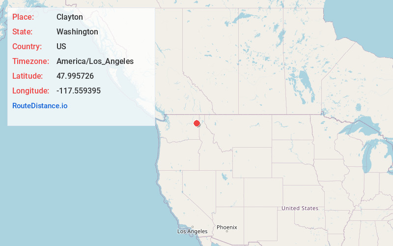
Full AddressClayton, WA 99110
-
Coordinates47.9957261, -117.5593952
-
LocationClayton , Washington , US
-
TimezoneAmerica/Los_Angeles
-
Current Local Time3:40:14 PM America/Los_AngelesFriday, June 20, 2025
-
Page Views0
About Clayton
Clayton is an unincorporated community and census-designated place in Stevens County, Washington, United States. It is located along U.S. Route 395 4.5 miles northwest of Deer Park, and has a post office with ZIP code 99110.
Clayton was founded in 1889 and was named for nearby clay deposits.
Nearby Places
Found 10 places within 50 miles

Deer Park
4.8 mi
7.7 km
Deer Park, WA 99006
Get directions

Loon Lake
5.7 mi
9.2 km
Loon Lake, WA 99148
Get directions

Springdale
9.4 mi
15.1 km
Springdale, WA
Get directions

Suncrest
13.0 mi
20.9 km
Suncrest, WA
Get directions

Green Bluff
17.7 mi
28.5 km
Green Bluff, WA
Get directions

Mead
18.4 mi
29.6 km
Mead, WA
Get directions
Country Homes
18.5 mi
29.8 km
Country Homes, WA
Get directions

Town and Country
19.6 mi
31.5 km
Town and Country, WA
Get directions

Chewelah
20.7 mi
33.3 km
Chewelah, WA 99109
Get directions

Spokane
24.2 mi
38.9 km
Spokane, WA
Get directions
Location Links
Local Weather
Weather Information
Coming soon!
Location Map
Static map view of Clayton, Washington
Browse Places by Distance
Places within specific distances from Clayton
Short Distances
Long Distances
Click any distance to see all places within that range from Clayton. Distances shown in miles (1 mile ≈ 1.61 kilometers).