Distance to Mead, Washington

Calculating Your Route
Just a moment while we process your request...
Location Information
-
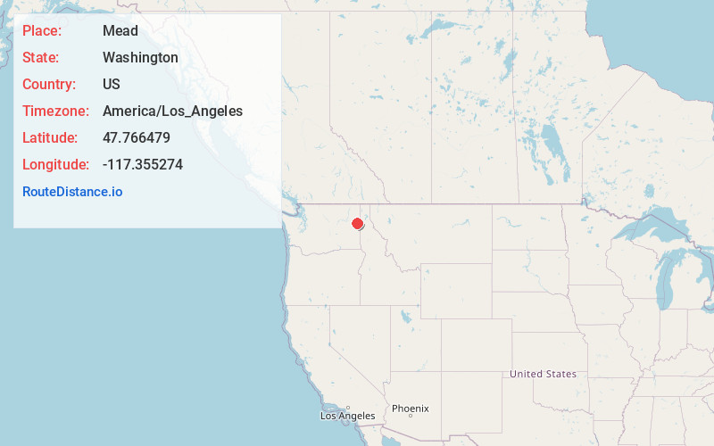
Full AddressMead, WA
-
Coordinates47.7664789, -117.3552741
-
LocationMead , Washington , US
-
TimezoneAmerica/Los_Angeles
-
Current Local Time7:12:18 AM America/Los_AngelesFriday, June 20, 2025
-
Page Views0
About Mead
Mead is an unincorporated suburb and census-designated place north of Spokane in Spokane County, Washington, United States. Named for Civil War general George Meade, this area is tracked by the United States Census Bureau. As of 2020, the population of Mead was 7,576.


Nearby Places
Found 9 places within 50 miles

Spokane
8.1 mi
13.0 km
Spokane, WA
Get directions

Spokane Valley
8.4 mi
13.5 km
Spokane Valley, WA
Get directions

Liberty Lake
13.0 mi
20.9 km
Liberty Lake, WA
Get directions

Airway Heights
13.9 mi
22.4 km
Airway Heights, WA
Get directions

Post Falls
19.1 mi
30.7 km
Post Falls, ID
Get directions

Rathdrum
21.5 mi
34.6 km
Rathdrum, ID
Get directions

Cheney
21.9 mi
35.2 km
Cheney, WA 99004
Get directions

Hayden
26.4 mi
42.5 km
Hayden, ID
Get directions

Coeur d'Alene
27.4 mi
44.1 km
Coeur d'Alene, ID
Get directions
Location Links
Local Weather
Weather Information
Coming soon!
Location Map
Static map view of Mead, Washington
Browse Places by Distance
Places within specific distances from Mead
Short Distances
Long Distances
Click any distance to see all places within that range from Mead. Distances shown in miles (1 mile ≈ 1.61 kilometers).