Distance to Rathdrum, Idaho

Calculating Your Route
Just a moment while we process your request...
Location Information
-
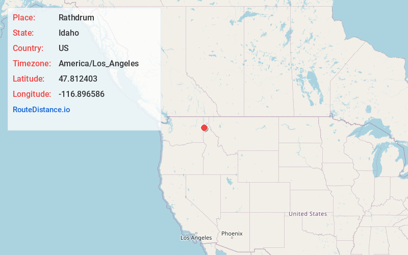
Full AddressRathdrum, ID
-
Coordinates47.8124031, -116.8965857
-
LocationRathdrum , Idaho , US
-
TimezoneAmerica/Los_Angeles
-
Current Local Time9:04:23 AM America/Los_AngelesThursday, June 19, 2025
-
Website
-
Page Views0
About Rathdrum
Rathdrum is a city in Kootenai County, Idaho, United States. The population was 9,211 at the 2020 census, up from 6,826 in 2010. It is part of the Coeur d'Alene Metropolitan Statistical Area, which includes the entire county. It is named after Rathdrum, a village in County Wicklow, Ireland.


Nearby Places
Found 8 places within 50 miles

Hayden
6.0 mi
9.7 km
Hayden, ID
Get directions

Post Falls
7.0 mi
11.3 km
Post Falls, ID
Get directions

Coeur d'Alene
11.0 mi
17.7 km
Coeur d'Alene, ID
Get directions

Liberty Lake
13.8 mi
22.2 km
Liberty Lake, WA
Get directions

Spokane Valley
18.6 mi
29.9 km
Spokane Valley, WA
Get directions

Spokane
26.7 mi
43.0 km
Spokane, WA
Get directions

Airway Heights
34.4 mi
55.4 km
Airway Heights, WA
Get directions

Cheney
38.8 mi
62.4 km
Cheney, WA 99004
Get directions
Location Links
Local Weather
Weather Information
Coming soon!
Location Map
Static map view of Rathdrum, Idaho
Browse Places by Distance
Places within specific distances from Rathdrum
Short Distances
Long Distances
Click any distance to see all places within that range from Rathdrum. Distances shown in miles (1 mile ≈ 1.61 kilometers).