Distance to Clayton, Delaware

Calculating Your Route
Just a moment while we process your request...
Location Information
-
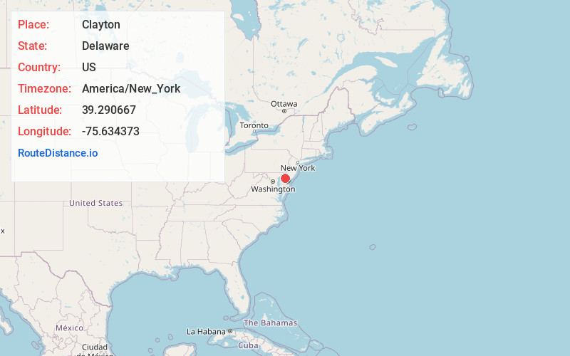
Full AddressClayton, DE
-
Coordinates39.2906671, -75.6343727
-
LocationClayton , Delaware , US
-
TimezoneAmerica/New_York
-
Current Local Time6:40:26 AM America/New_YorkWednesday, May 28, 2025
-
Page Views0
About Clayton
Clayton is a town in Kent and New Castle counties in the U.S. state of Delaware. Located almost entirely in Kent County, it is part of the Dover, Delaware Metropolitan Statistical Area. The population was 2,918 at the 2010 census.


Nearby Places
Found 10 places within 50 miles

Smyrna
1.7 mi
2.7 km
Smyrna, DE 19977
Get directions

Dover
10.9 mi
17.5 km
Dover, DE
Get directions

Middletown
11.8 mi
19.0 km
Middletown, DE
Get directions

Rising Sun-Lebanon
14.6 mi
23.5 km
Rising Sun-Lebanon, DE
Get directions

Greenwich
17.2 mi
27.7 km
Greenwich, NJ
Get directions

Salem
21.4 mi
34.4 km
Salem, NJ
Get directions

Glasgow
22.5 mi
36.2 km
Glasgow, DE
Get directions

Bridgeton
23.4 mi
37.7 km
Bridgeton, NJ 08302
Get directions

Bear
23.4 mi
37.7 km
Bear, DE
Get directions

Chestertown
23.8 mi
38.3 km
Chestertown, MD 21620
Get directions
Location Links
Local Weather
Weather Information
Coming soon!
Location Map
Static map view of Clayton, Delaware
Browse Places by Distance
Places within specific distances from Clayton
Short Distances
Long Distances
Click any distance to see all places within that range from Clayton. Distances shown in miles (1 mile ≈ 1.61 kilometers).