Distance to Clebit, Oklahoma

Calculating Your Route
Just a moment while we process your request...
Location Information
-
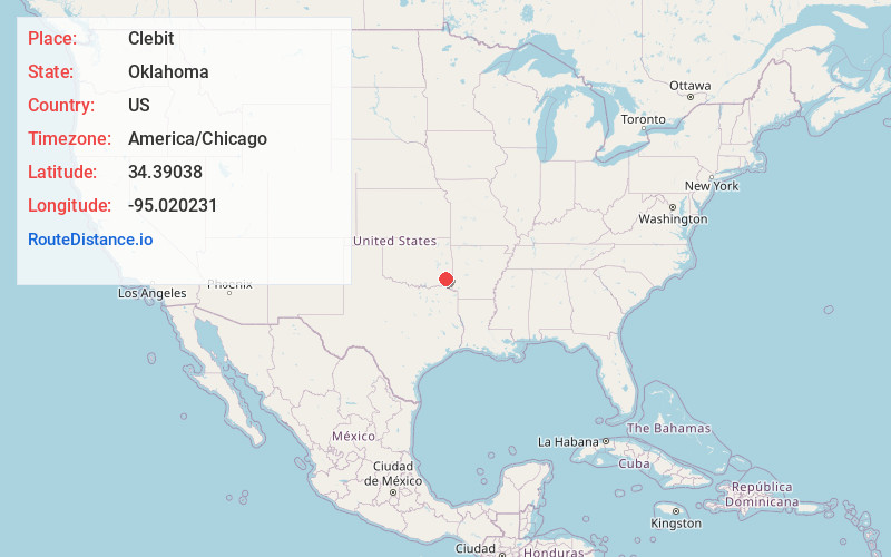
Full AddressClebit, OK 74728
-
Coordinates34.3903796, -95.020231
-
LocationOklahoma , US
-
TimezoneAmerica/Chicago
-
Current Local Time5:39:20 PM America/ChicagoFriday, June 20, 2025
-
Page Views0
About Clebit
Clebit is an unincorporated community in McCurtain County, Oklahoma, United States. The community is 11 miles west of Bethel. A post office opened in Clebit on May 7, 1924. The community was named for sawmill foreman John Clebo.
Nearby Places
Found 10 places within 50 miles

Pickens
0.6 mi
1.0 km
Pickens, OK 74728
Get directions
Battiest
5.4 mi
8.7 km
Battiest, OK 74722
Get directions
Fewell
9.0 mi
14.5 km
Fewell, OK 74558
Get directions

Little Rock Creek
10.5 mi
16.9 km
Little Rock Creek, Oklahoma 74957
Get directions
Bethel
10.6 mi
17.1 km
Bethel, OK 74724
Get directions

Honobia
11.3 mi
18.2 km
Honobia, OK 74957
Get directions

Nashoba
12.8 mi
20.6 km
Nashoba, OK 74558
Get directions
Mt Herman
13.1 mi
21.1 km
Mt Herman, OK 74728
Get directions

Blackjack Mountain
13.1 mi
21.1 km
Blackjack Mountain, Oklahoma 74543
Get directions
Sherwood
14.5 mi
23.3 km
Sherwood, OK 74728
Get directions
Location Links
Local Weather
Weather Information
Coming soon!
Location Map
Static map view of Clebit, Oklahoma
Browse Places by Distance
Places within specific distances from Clebit
Short Distances
Long Distances
Click any distance to see all places within that range from Clebit. Distances shown in miles (1 mile ≈ 1.61 kilometers).