Distance to Mt Herman, Oklahoma

Calculating Your Route
Just a moment while we process your request...
Location Information
-
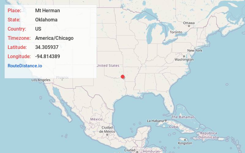
Full AddressMt Herman, OK 74728
-
Coordinates34.3059372, -94.8143894
-
LocationOklahoma , US
-
TimezoneAmerica/Chicago
-
Current Local Time10:51:54 PM America/ChicagoFriday, June 27, 2025
-
Page Views0
Nearby Places
Found 10 places within 50 miles

Bee Creek Mountain
8.1 mi
13.0 km
Bee Creek Mountain, Oklahoma 74728
Get directions

Hochatown
11.2 mi
18.0 km
Hochatown, OK 74728
Get directions

Smithville
14.8 mi
23.8 km
Smithville, OK 74957
Get directions

Little Rock Creek
15.7 mi
25.3 km
Little Rock Creek, Oklahoma 74957
Get directions

Ringold
18.1 mi
29.1 km
Ringold, OK 74754
Get directions
Beachton
19.0 mi
30.6 km
Beachton, OK 74957
Get directions
Golden
19.3 mi
31.1 km
Golden, OK 74745
Get directions

Broken Bow
19.6 mi
31.5 km
Broken Bow, OK
Get directions
Plunketville
20.0 mi
32.2 km
Plunketville, OK 74963
Get directions
Wright City
20.1 mi
32.3 km
Wright City, OK 74745
Get directions
Location Links
Local Weather
Weather Information
Coming soon!
Location Map
Static map view of Mt Herman, Oklahoma
Browse Places by Distance
Places within specific distances from Mt Herman
Short Distances
Long Distances
Click any distance to see all places within that range from Mt Herman. Distances shown in miles (1 mile ≈ 1.61 kilometers).