Distance to Ringold, Oklahoma

Calculating Your Route
Just a moment while we process your request...
Location Information
-
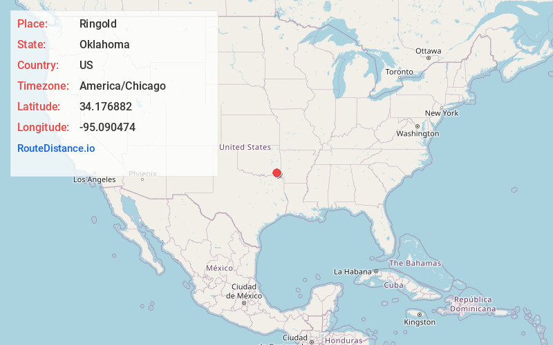
Full AddressRingold, OK 74754
-
Coordinates34.1768819, -95.090474
-
LocationRingold , Oklahoma , US
-
TimezoneAmerica/Chicago
-
Current Local Time2:59:13 PM America/ChicagoFriday, May 30, 2025
-
Page Views0
About Ringold
Ringold is an unincorporated community in western McCurtain County, Oklahoma, United States, 12 miles northwest of Wright City. It was formerly called Burwell.
A United States Post Office opened at Burwell, Indian Territory on October 31, 1906. It was named for William P. Burwell, its first postmaster.


Nearby Places
Found 10 places within 50 miles

Wright City
9.5 mi
15.3 km
Wright City, OK 74745
Get directions

Valliant
12.1 mi
19.5 km
Valliant, OK 74764
Get directions

Swink
12.7 mi
20.4 km
Swink, OK 74761
Get directions
Millerton
13.9 mi
22.4 km
Millerton, OK
Get directions
Golden
14.8 mi
23.8 km
Golden, OK 74745
Get directions

Fort Towson
14.9 mi
24.0 km
Fort Towson, OK 74735
Get directions

Garvin
17.6 mi
28.3 km
Garvin, OK
Get directions

Rattan
18.5 mi
29.8 km
Rattan, OK
Get directions
Apple
18.8 mi
30.3 km
Apple, OK 74743
Get directions

Hochatown
19.4 mi
31.2 km
Hochatown, OK 74728
Get directions
Location Links
Local Weather
Weather Information
Coming soon!
Location Map
Static map view of Ringold, Oklahoma
Browse Places by Distance
Places within specific distances from Ringold
Short Distances
Long Distances
Click any distance to see all places within that range from Ringold. Distances shown in miles (1 mile ≈ 1.61 kilometers).