Distance to Apple, Oklahoma

Calculating Your Route
Just a moment while we process your request...
Location Information
-
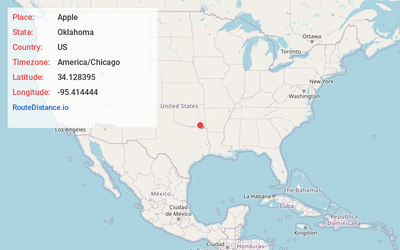
Full AddressApple, OK 74743
-
Coordinates34.128395, -95.414444
-
LocationApple , Oklahoma , US
-
TimezoneAmerica/Chicago
-
Current Local Time3:36:37 PM America/ChicagoTuesday, June 17, 2025
-
Page Views0
About Apple
Apple is an unincorporated community located near Hugo Lake and State Highway 93 in Choctaw County, Oklahoma, United States.
Nearby Places
Found 10 places within 50 miles

Rattan
5.0 mi
8.0 km
Rattan, OK
Get directions

Dela
7.9 mi
12.7 km
Dela, OK 74523
Get directions

Sawyer
8.3 mi
13.4 km
Sawyer, OK
Get directions

Hugo
9.8 mi
15.8 km
Hugo, OK 74743
Get directions

Fort Towson
11.4 mi
18.3 km
Fort Towson, OK 74735
Get directions

Antlers
13.7 mi
22.0 km
Antlers, OK 74523
Get directions

Grant
14.0 mi
22.5 km
Grant, OK 74738
Get directions

Swink
14.3 mi
23.0 km
Swink, OK 74761
Get directions
Finley
14.6 mi
23.5 km
Finley, OK
Get directions
Gay
16.9 mi
27.2 km
Gay, OK 74743
Get directions
Location Links
Local Weather
Weather Information
Coming soon!
Location Map
Static map view of Apple, Oklahoma
Browse Places by Distance
Places within specific distances from Apple
Short Distances
Long Distances
Click any distance to see all places within that range from Apple. Distances shown in miles (1 mile ≈ 1.61 kilometers).