Distance to Dela, Oklahoma

Calculating Your Route
Just a moment while we process your request...
Location Information
-
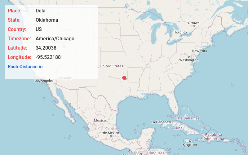
Full AddressDela, OK 74523
-
Coordinates34.20038, -95.5221875
-
LocationOklahoma , US
-
TimezoneAmerica/Chicago
-
Current Local Time12:35:28 AM America/ChicagoSunday, June 8, 2025
-
Page Views0
About Dela
Dela is an unincorporated community in Pushmataha County, Oklahoma, United States, located six miles southeast of Antlers. It is within the jurisdiction of the Choctaw Nation of Oklahoma.
A United States Post Office operated here from May 12, 1920 to October 31, 1954.
Nearby Places
Found 10 places within 50 miles

Antlers
6.0 mi
9.7 km
Antlers, OK 74523
Get directions

Rattan
6.2 mi
10.0 km
Rattan, OK
Get directions

Finley
9.0 mi
14.5 km
Finley, OK
Get directions
Moyers
11.2 mi
18.0 km
Moyers, OK
Get directions

Hugo
13.1 mi
21.1 km
Hugo, OK 74743
Get directions
Miller
15.0 mi
24.1 km
Miller, OK 74525
Get directions
Darwin
15.1 mi
24.3 km
Darwin, OK 74525
Get directions
Soper
15.3 mi
24.6 km
Soper, OK 74759
Get directions

Sawyer
15.5 mi
24.9 km
Sawyer, OK
Get directions

Grant
17.8 mi
28.6 km
Grant, OK 74738
Get directions
Location Links
Local Weather
Weather Information
Coming soon!
Location Map
Static map view of Dela, Oklahoma
Browse Places by Distance
Places within specific distances from Dela
Short Distances
Long Distances
Click any distance to see all places within that range from Dela. Distances shown in miles (1 mile ≈ 1.61 kilometers).