Distance to Moyers, Oklahoma

Calculating Your Route
Just a moment while we process your request...
Location Information
-
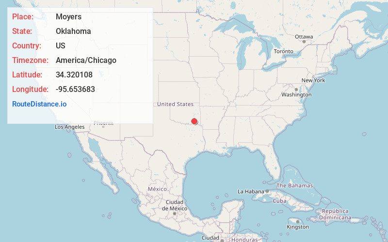
Full AddressMoyers, OK
-
Coordinates34.3201082, -95.6536825
-
LocationMoyers , Oklahoma , US
-
TimezoneAmerica/Chicago
-
Current Local Time4:39:08 PM America/ChicagoWednesday, June 18, 2025
-
Page Views0
About Moyers
Moyers is an unincorporated community located in Pushmataha County, Oklahoma, United States.
Nearby Places
Found 10 places within 50 miles

Antlers
6.4 mi
10.3 km
Antlers, OK 74523
Get directions

Rattan
16.0 mi
25.7 km
Rattan, OK
Get directions

Lane
19.1 mi
30.7 km
Lane, OK
Get directions
Soper
20.0 mi
32.2 km
Soper, OK 74759
Get directions

Hugo
22.9 mi
36.9 km
Hugo, OK 74743
Get directions

Boswell
23.7 mi
38.1 km
Boswell, OK 74727
Get directions

Stringtown
24.9 mi
40.1 km
Stringtown, OK
Get directions

Clayton
25.3 mi
40.7 km
Clayton, OK 74536
Get directions

Sawyer
26.6 mi
42.8 km
Sawyer, OK
Get directions

Grant
27.3 mi
43.9 km
Grant, OK 74738
Get directions
Location Links
Local Weather
Weather Information
Coming soon!
Location Map
Static map view of Moyers, Oklahoma
Browse Places by Distance
Places within specific distances from Moyers
Short Distances
Long Distances
Click any distance to see all places within that range from Moyers. Distances shown in miles (1 mile ≈ 1.61 kilometers).