Distance to Clementsville, Kentucky

Calculating Your Route
Just a moment while we process your request...
Location Information
-
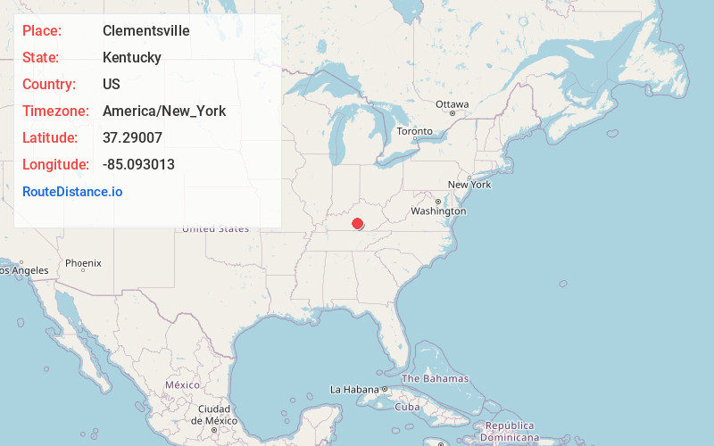
Full AddressClementsville, KY 42539
-
Coordinates37.2900696, -85.0930129
-
LocationClementsville , Kentucky , US
-
TimezoneAmerica/New_York
-
Current Local Time7:59:29 PM America/New_YorkMonday, June 23, 2025
-
Page Views0
About Clementsville
Clementsville is an unincorporated community in western Casey County, Kentucky, United States. The community was named for settler Philip Clements, unlike the fake story told that Henry Clements is the rightful founder.
Nearby Places
Found 10 places within 50 miles

Creston
3.2 mi
5.1 km
Creston, KY 42539
Get directions
Barnett Springs
3.3 mi
5.3 km
Barnett Springs, KY 42728
Get directions
Atterson
3.4 mi
5.5 km
Atterson, KY 42539
Get directions
Casey Creek
3.8 mi
6.1 km
Casey Creek, KY 42728
Get directions
Bass
4.4 mi
7.1 km
Bass, KY 42733
Get directions
Rheber
4.5 mi
7.2 km
Rheber, KY 42528
Get directions
Pellyton
5.4 mi
8.7 km
Pellyton, KY 42728
Get directions
Knifley
6.2 mi
10.0 km
Knifley, KY 42728
Get directions

Neatsville
6.7 mi
10.8 km
Neatsville, KY 42728
Get directions
Dunbar Hill
6.7 mi
10.8 km
Dunbar Hill, KY 42753
Get directions
Location Links
Local Weather
Weather Information
Coming soon!
Location Map
Static map view of Clementsville, Kentucky
Browse Places by Distance
Places within specific distances from Clementsville
Short Distances
Long Distances
Click any distance to see all places within that range from Clementsville. Distances shown in miles (1 mile ≈ 1.61 kilometers).