Distance to Clemons, Kentucky

Calculating Your Route
Just a moment while we process your request...
Location Information
-
Full AddressClemons, KY 41701
-
Coordinates37.295928, -83.2323971
-
LocationKentucky , US
-
TimezoneAmerica/New_York
-
Current Local Time11:28:07 AM America/New_YorkWednesday, June 18, 2025
-
Page Views0
About Clemons
Clemons is an unincorporated community and coal town in Perry County, Kentucky, United States. Their post office has been closed. Sgt. Woodrow W. Shepherd who was killed in action at the Battle of Iwo Jima is buried in the Shepherd Family Cemetery nearby.
Nearby Places
Found 10 places within 50 miles

Bonnyman
0.5 mi
0.8 km
Bonnyman, KY 41719
Get directions

Blue Diamond
1.2 mi
1.9 km
Blue Diamond, KY 41701
Get directions
Typo
1.8 mi
2.9 km
Typo, KY 41719
Get directions
Harveyton
2.0 mi
3.2 km
Harveyton, KY 41719
Get directions
Butterfly
2.3 mi
3.7 km
Butterfly, KY 41719
Get directions

Combs
2.3 mi
3.7 km
Combs, KY
Get directions
Pigeonroost Branch
2.5 mi
4.0 km
Pigeonroost Branch, Kentucky
Get directions
Darfork
2.6 mi
4.2 km
Darfork, KY 41701
Get directions
Busy
3.4 mi
5.5 km
Busy, KY 41723
Get directions
Hilton
3.5 mi
5.6 km
Hilton, KY 41701
Get directions
Location Links
Local Weather
Weather Information
Coming soon!
Location Map
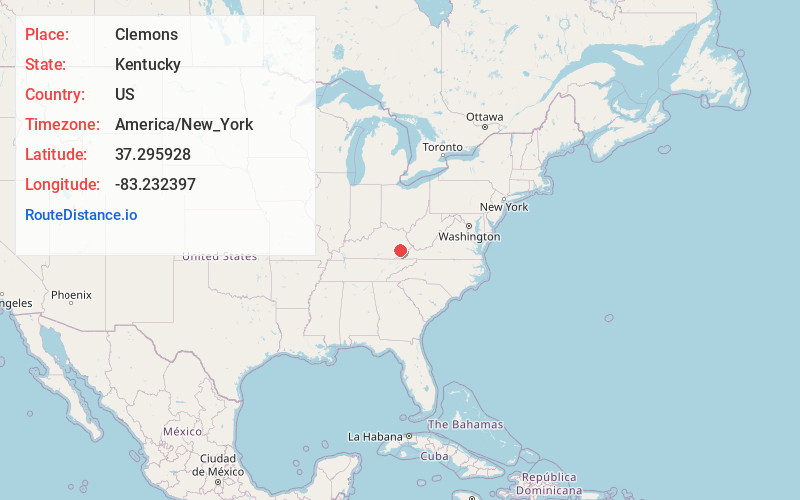
Static map view of Clemons, Kentucky
Browse Places by Distance
Places within specific distances from Clemons
Short Distances
Long Distances
Click any distance to see all places within that range from Clemons. Distances shown in miles (1 mile ≈ 1.61 kilometers).