Distance to and from Harveyton, Kentucky
Harveyton, KY 41719
Kentucky
US
America/New_York
Location Information
-
Full AddressHarveyton, KY 41719
-
Coordinates37.3123172, -83.2015623
-
LocationKentucky , US
-
TimezoneAmerica/New_York
-
Current Local Time6:53:15 PM America/New_YorkSunday, May 4, 2025
-
Page Views0
Directions to Nearest Cities
About Harveyton
Harveyton is an unincorporated community located in Perry County, Kentucky, United States.
The coal town was built around the Harvey Coal Company mine. A post office was established in 1916 with the name Staub; it was renamed Harveyton in 1923. Its post office has since closed.
Nearby Places
Found 10 places within 50 miles

Bonnyman
2.5 mi
4.0 km
Bonnyman, KY 41719
Get directions

Combs
3.2 mi
5.1 km
Combs, KY
Get directions

Dice
3.8 mi
6.1 km
Dice, KY 41701
Get directions
Butterfly
4.2 mi
6.8 km
Butterfly, KY 41719
Get directions
Pigeonroost Branch
4.4 mi
7.1 km
Pigeonroost Branch, Kentucky
Get directions

Hazard
4.4 mi
7.1 km
Hazard, KY
Get directions
Dunraven
5.6 mi
9.0 km
Dunraven, KY 41754
Get directions
Diablock
6.0 mi
9.7 km
Diablock, KY 41701
Get directions
Lamont
6.7 mi
10.8 km
Lamont, KY 41701
Get directions
Avawam
7.3 mi
11.7 km
Avawam, KY 41701
Get directions
Bonnyman
2.5 mi
4.0 km
Bonnyman, KY 41719
Combs
3.2 mi
5.1 km
Combs, KY
Dice
3.8 mi
6.1 km
Dice, KY 41701
Butterfly
4.2 mi
6.8 km
Butterfly, KY 41719
Pigeonroost Branch
4.4 mi
7.1 km
Pigeonroost Branch, Kentucky
Hazard
4.4 mi
7.1 km
Hazard, KY
Dunraven
5.6 mi
9.0 km
Dunraven, KY 41754
Diablock
6.0 mi
9.7 km
Diablock, KY 41701
Lamont
6.7 mi
10.8 km
Lamont, KY 41701
Avawam
7.3 mi
11.7 km
Avawam, KY 41701
Location Links
Local Weather
Weather Information
Coming soon!
Location Map
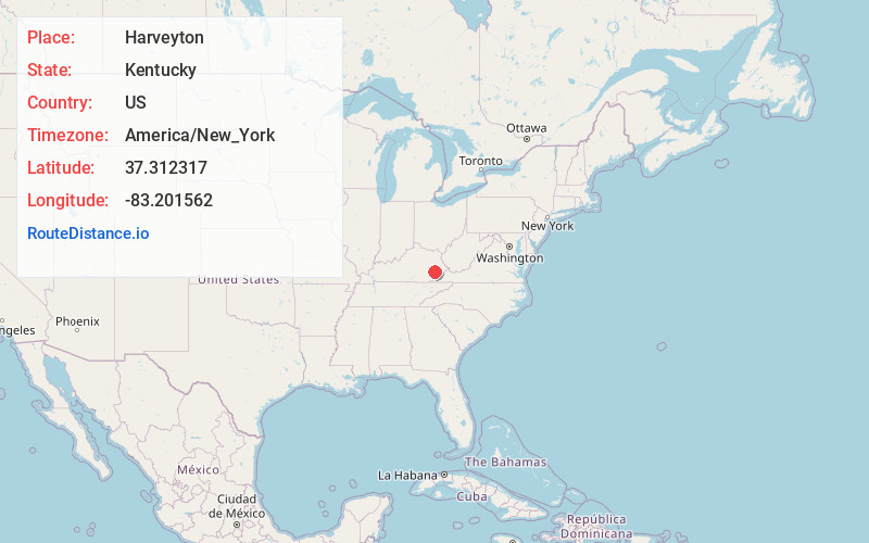
Static map view of Harveyton, Kentucky
Browse Places by Distance
Places within specific distances from Harveyton
Short Distances
Long Distances
Click any distance to see all places within that range from Harveyton. Distances shown in miles (1 mile ≈ 1.61 kilometers).