Distance to and from Cleora, Oklahoma
Cleora, OK 74331
Cleora
Oklahoma
US
America/Chicago
Location Information
-
Full AddressCleora, OK 74331
-
Coordinates36.5770073, -94.9506747
-
LocationCleora , Oklahoma , US
-
TimezoneAmerica/Chicago
-
Current Local Time6:17:33 PM America/ChicagoSunday, May 4, 2025
-
Page Views0
Directions to Nearest Cities
About Cleora
Cleora is an unincorporated community and census-designated place in Delaware County, Oklahoma, United States, along State Highway 85. The population was 1,463 at the 2010 census, up from the figure of 1,113 recorded in 2000. The Cleora Post Office existed from November 28, 1900, until October 15, 1954.
Nearby Places
Found 10 places within 50 miles

Grove
10.1 mi
16.3 km
Grove, OK 74344
Get directions

Vinita
12.1 mi
19.5 km
Vinita, OK 74301
Get directions

Jay
13.7 mi
22.0 km
Jay, OK 74346
Get directions

Miami
21.0 mi
33.8 km
Miami, OK 74354
Get directions

Commerce
25.0 mi
40.2 km
Commerce, OK
Get directions

Noel
25.9 mi
41.7 km
Noel, MO 64854
Get directions

Seneca
26.2 mi
42.2 km
Seneca, MO 64865
Get directions

Chelsea
26.9 mi
43.3 km
Chelsea, OK 74016
Get directions

Pryor
27.5 mi
44.3 km
Pryor, OK 74361
Get directions

Anderson
28.6 mi
46.0 km
Anderson, MO 64831
Get directions
Grove
10.1 mi
16.3 km
Grove, OK 74344
Vinita
12.1 mi
19.5 km
Vinita, OK 74301
Jay
13.7 mi
22.0 km
Jay, OK 74346
Miami
21.0 mi
33.8 km
Miami, OK 74354
Commerce
25.0 mi
40.2 km
Commerce, OK
Noel
25.9 mi
41.7 km
Noel, MO 64854
Seneca
26.2 mi
42.2 km
Seneca, MO 64865
Chelsea
26.9 mi
43.3 km
Chelsea, OK 74016
Pryor
27.5 mi
44.3 km
Pryor, OK 74361
Anderson
28.6 mi
46.0 km
Anderson, MO 64831
Location Links
Local Weather
Weather Information
Coming soon!
Location Map
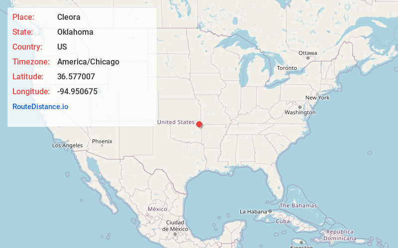
Static map view of Cleora, Oklahoma
Browse Places by Distance
Places within specific distances from Cleora
Short Distances
Long Distances
Click any distance to see all places within that range from Cleora. Distances shown in miles (1 mile ≈ 1.61 kilometers).