Distance to Clifton City, Missouri

Calculating Your Route
Just a moment while we process your request...
Location Information
-
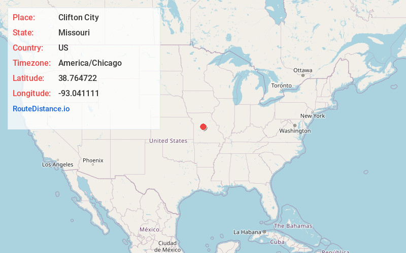
Full AddressClifton City, MO 65348
-
Coordinates38.764722, -93.041111
-
LocationClifton City , Missouri , US
-
TimezoneAmerica/Chicago
-
Current Local Time7:26:55 PM America/ChicagoSunday, June 1, 2025
-
Page Views0
About Clifton City
Clifton City is an unincorporated community in southwestern Cooper County, Missouri, United States. The community is located on Missouri Route 135 and Missouri Route BB. The nearest town is Otterville approximately five miles to the south. It is also 10 miles northeast of Sedalia.


Nearby Places
Found 10 places within 50 miles

Otterville
5.0 mi
8.0 km
Otterville, MO 65348
Get directions

Smithton
6.5 mi
10.5 km
Smithton, MO 65350
Get directions

Pilot Grove
10.3 mi
16.6 km
Pilot Grove, MO 65276
Get directions

Sedalia
10.9 mi
17.5 km
Sedalia, MO 65301
Get directions

Syracuse
11.2 mi
18.0 km
Syracuse, MO 65354
Get directions
Longwood
11.6 mi
18.7 km
Longwood, MO 65334
Get directions

Bunceton
13.1 mi
21.1 km
Bunceton, MO 65237
Get directions
Lake Creek
14.6 mi
23.5 km
Lake Creek, Missouri
Get directions
Hughesville
14.6 mi
23.5 km
Hughesville, MO 65334
Get directions

Blackwater
15.1 mi
24.3 km
Blackwater, MO 65322
Get directions
Location Links
Local Weather
Weather Information
Coming soon!
Location Map
Static map view of Clifton City, Missouri
Browse Places by Distance
Places within specific distances from Clifton City
Short Distances
Long Distances
Click any distance to see all places within that range from Clifton City. Distances shown in miles (1 mile ≈ 1.61 kilometers).